Friday, March 8, 2024

Happy Trails - Heading to the Lone Star Cowboy Poetry Festival

February 14 -15, 2024:


I’m on the road at 9:30 AM driving straight on I-10 east with a emergency stop to get my radio synced to my iPhone music library, that's critical for this trip and .  These devices sure can be annoying at times, but the weather is really cooperating today, nothing but sun and the temperature is about 70 degrees in the afternoon, gotta love that !


I make my first stop in Deming, NM where I park and walk around a few blocks to see what’s new or has changed since my last visit here. Deming is doing okay, looking fine actually.  I love the great murals, street.  The Deming Luna Mimbres Museum is also great, I've been there, but no time today. 


https://en.wikipedia.org/wiki/Deming,_New_Mexico


Deming has great downtown murals and art


Another great mural

I bypass Las Cruces, NM to allow more time to wander in downtown El Paso, Texas.  I managed to orient myself into the downtown area, park and walk around the historic, scenic old hispanic area known as Barrio Duranguito.  Photo OP’s are everywhere, I was soon losing track of where I left the van.  Afterwards, I make my way through the rush hour traffic, not as easy, to the Walmart where I will spend a quiet night, hopefully.


Historic preservationist fought to save this historic neighborhood


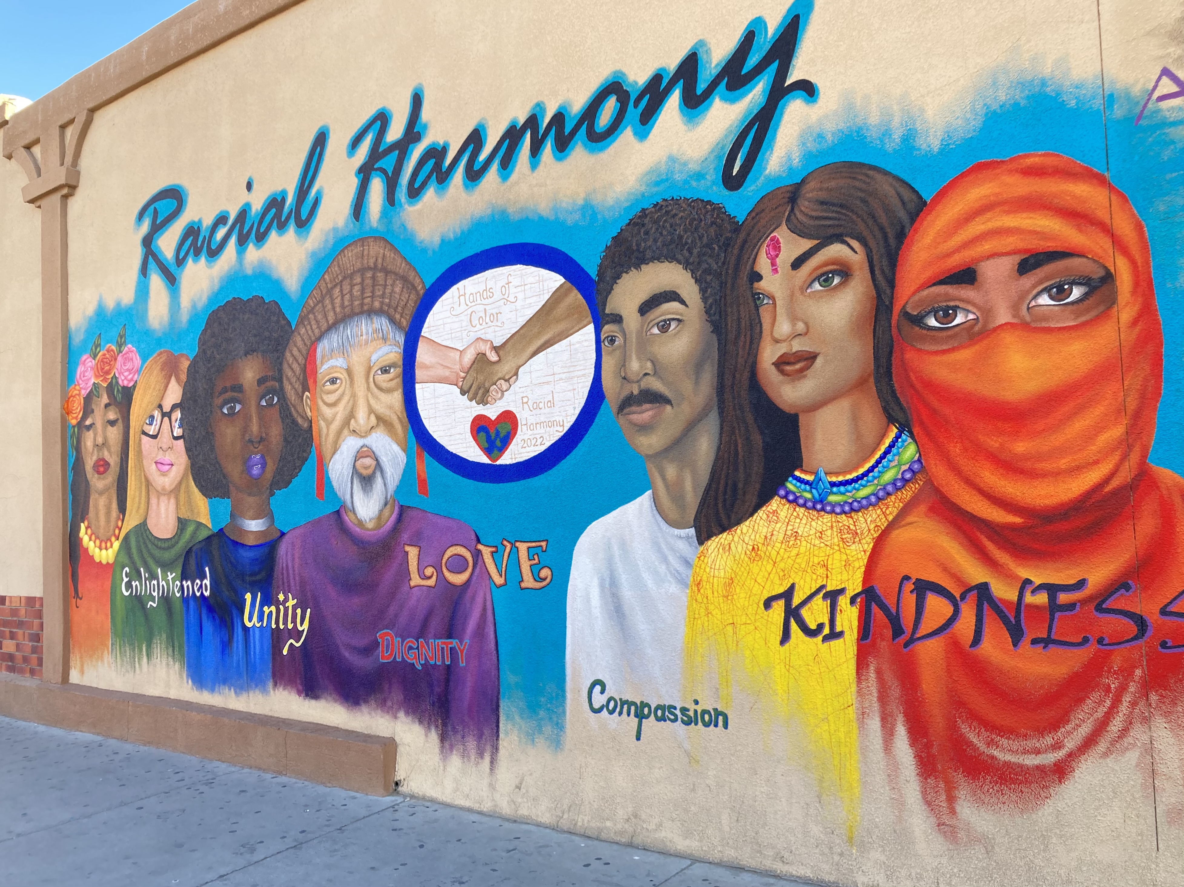
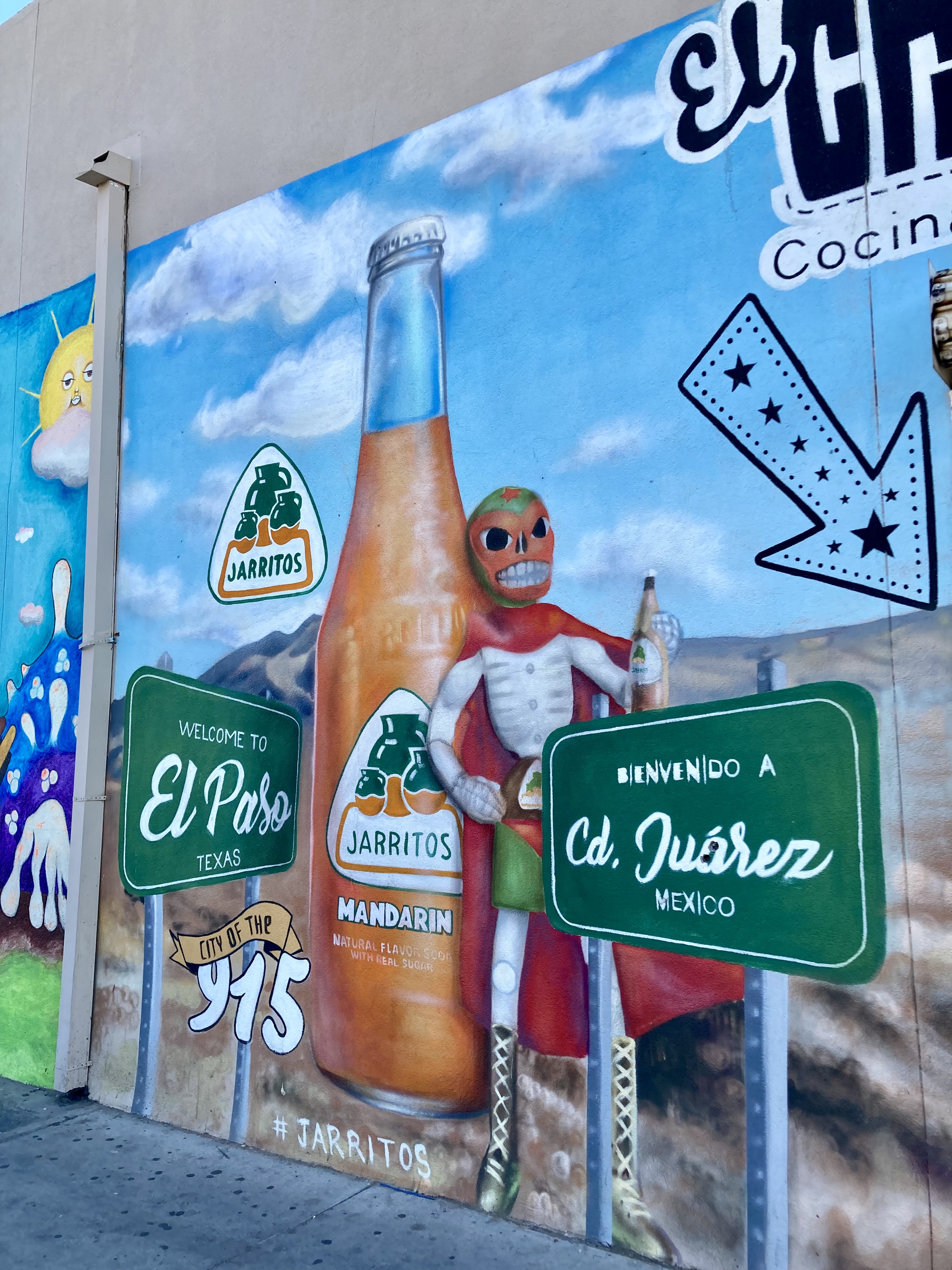
Interesting mural

I wondered about the Bowie Bears ?

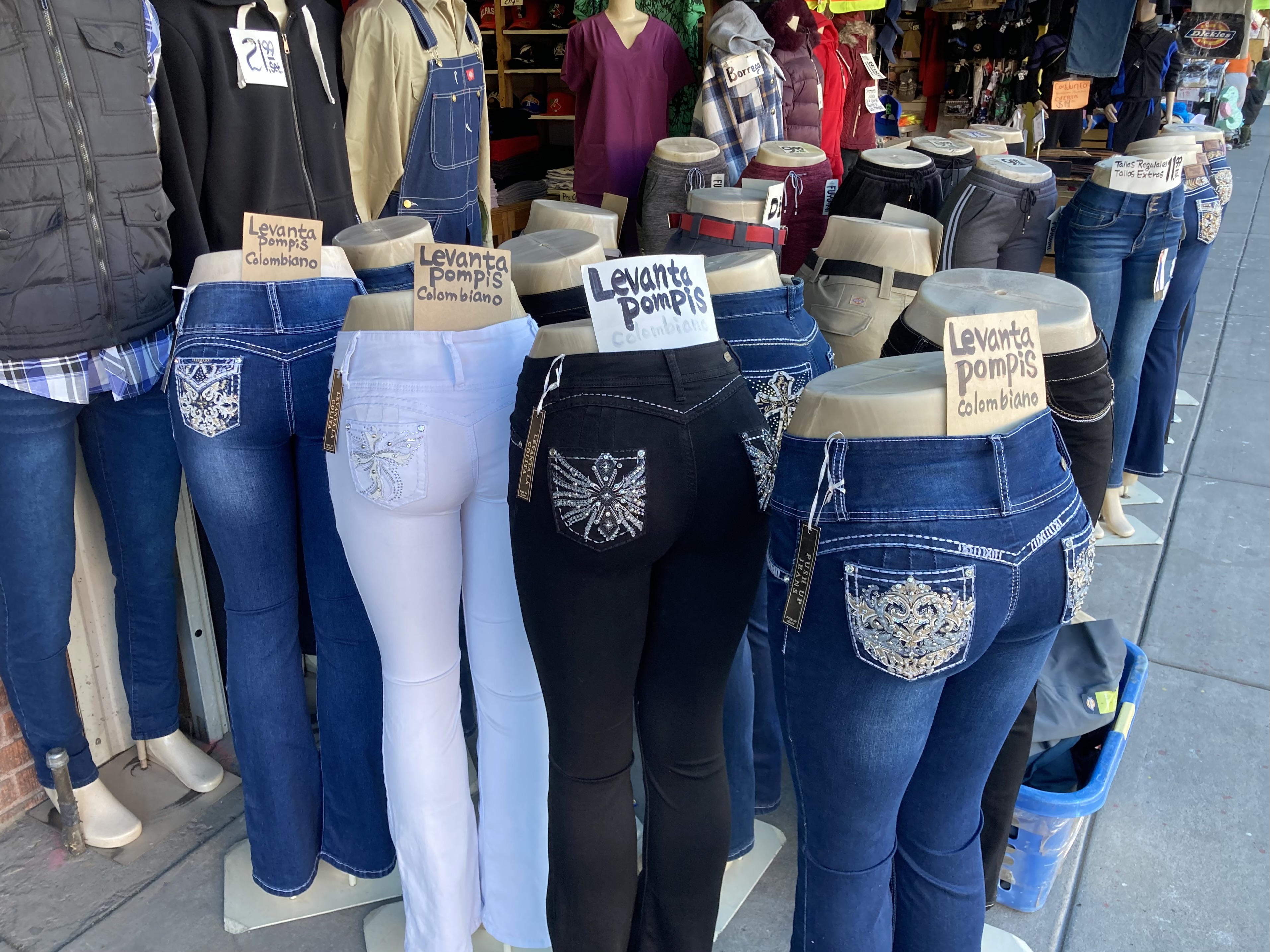
It's all about the butt 

Interesting mural

Beautiful old building

Not sure what kine of surplus is here ?

This is a sanctuary City

Is this the border wall ?

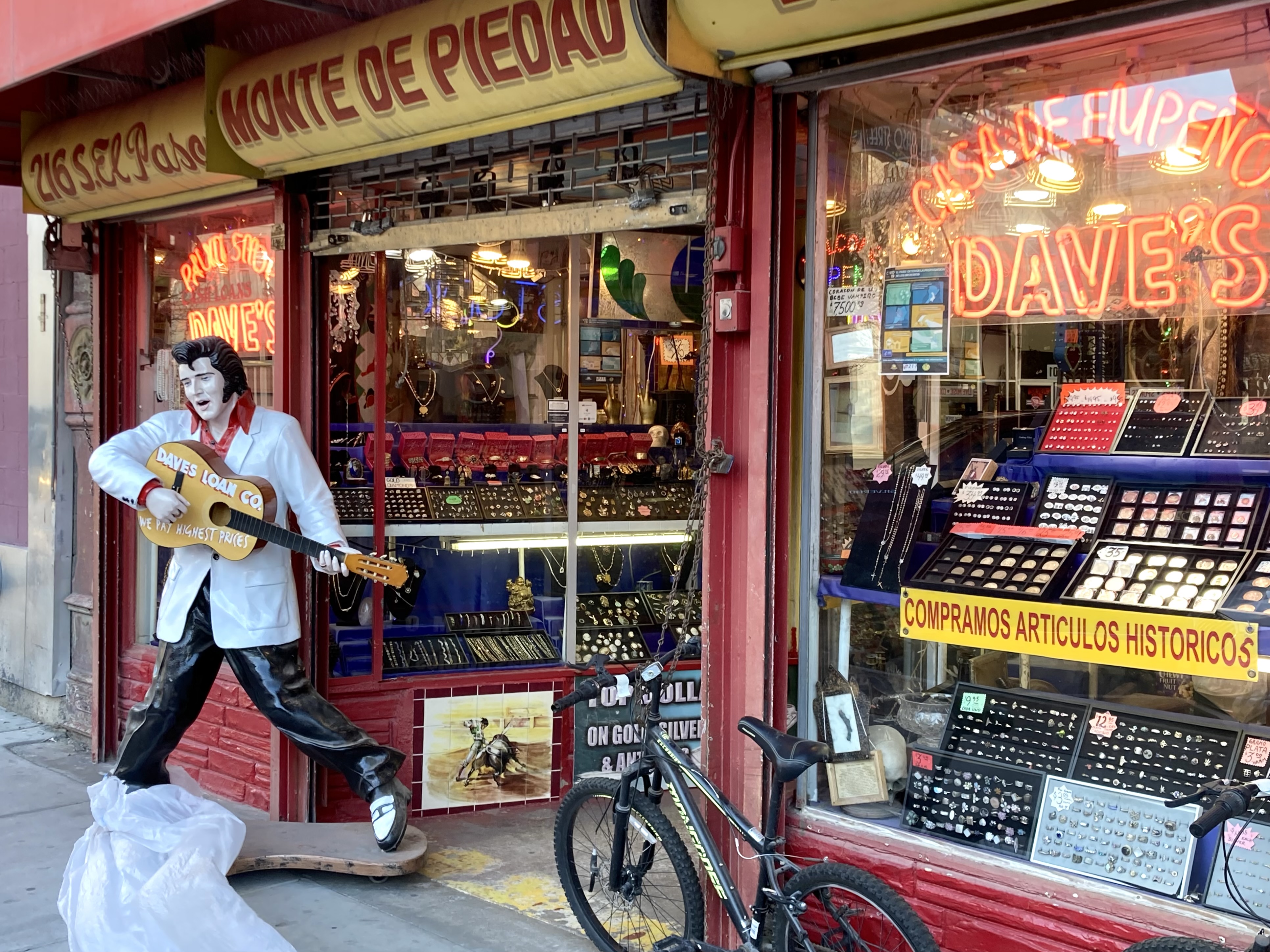
Elvis is alive here

The welcome arch is quite nice

It's Feb15th as I get on the road about 8 AM heading east on I-10 in the rush hour traffic, luckily I’m on the eastern side of El Paso so I get through the heavy congestion rather easy. 


There are very few towns heading east out of El Paso on I-10, it’s mostly wide open cattle range land.  I have to give Texas good marks for the construction work on the highway, they have a great job, the road back in Arizona and New Mexico was terrible.  They are also really improving their roadside rest areas, they were unusually clean and with nice picnic table facilities. 


My first stop is in Sierra Blanca, Texas which is in a sad distressed town but full of photo ops.  I've been here several times always hopeful that it will show improvement, but it's not happening, very sad.


https://en.wikipedia.org/wiki/Sierra_Blanca,_Texas


It's an historic railroad town, but the museum now appears closed

The best cafe also appears closed

Once a beautiful building, no ice or beer these days

The adobe walled State Theater is slowly eroding away

A better view

 My next stop is Van Horn,Texas to explore, it's another decaying town.  The high point was going inside the Hotel El Capitan to look around.  It was designed by famous architect Henry Trost, who was responsible for the design of 550 buildings from California to Texas from 1900 -1933.  The space project, Blue Origin located at the Corn Ranch owned/operated by Jeff Bezos is pretty exciting stuff, but doesn't appear to be a boost to the local economy. 


Doesn't look like they got anything left ?


Space fantasy

Hotel El Capitan looks pretty comfortable

The Clark Hotel is very historical


I have come to a crossroads decision here, to continue on route 80 towards Marfa to Alpine, Texas (the more direct route)  or to continue on I-10 to the exit for route 118 south which looks way more interesting ?  I take the more interesting route, it was the right thing to do.  Route 118 was impressive, passing through the Davis Mountains with varying forest zones with a wide variance of trees and shrubs.  


Long stretches of beautiful Juniper trees 


I stop at the impressive, world class McDonald Observatory for a visit, it's truly out of this world !  I go through the museum building with great mind altering exhibits and then drive up the steep access road to two of the huge Observatory Telescopes.  These buildings are enormous, very impressive and are sometimes open for guided tours, but not today.


https://en.wikipedia.org/wiki/McDonald_Observatory


Money we'll spent by a wealthy bachelor


I imagine it to be a fascinating read

One of the great centers in the world !

I have to admit that I rarely ask questions ?

An over achiever, don't think I could ever be a planet-hunter


The McDonald Observatory

The observatory is located at a high elevation for better viewing conditions

The Hobby - Eberly Telescope


I make another stop in Fort Davis, TX and walk around the downtown, it’s a historic place, the site of Fort Davis with a beautiful old stone Jeff Davis County Court House, the attractive Hotel Limpia and several interesting restaurants, cafes and shops.  The fort was a Confederate supply point during the civil war and was then used during the Indian wars.  


https://en.wikipedia.org/wiki/Fort_Davis,_Texas


Historic marker

Jeff Davis County Courthouse

Historic Church in front of interesting rock formation


I arrive at my destination of Alpine Texas in late afternoon, have a light meal and go to the Railroad Bar for their Blues Jam session, I remember this place from an earlier RV trip years ago, it looks exactly the same.  It started off pretty weak but then became better and better as more players joined the mix.  I was then enjoying the music and the two beers, which went done fine, but then started gurgling in my stomach.  I’ve been having some sort of stomach distress for the last few days, sure hope it doesn’t last.  It really sucks when you’re have a good time and common sense tells you need to stop and get some rest.


It's dark, sort of dingy like a blues club should be


Afterwards, I'm riding around the downtown area in the dark looking for a place to stealth camp for the night.  This dead end street adjacent to the Auto Parts store near the Railroad tracks looks good. 


The Cowboy Poetry Gathering starts tomorrow, Friday morning, stay tuned for more.


Monday, November 20, 2023

Tucson - Sierra Vista - Bisbee - Tucson, AZ

Tucson - Sierra Vista - Bisbee - Tucson, Arizona

November, 9 - 12, 2023


I travel from Tucson on routes 10 and 80 to Benson, AZ, passing through Tombstone, AZ and then exiting onto route 90 to Sierra Vista, AZ.   On route 90 I cross the San Pedro River lined with Cottonwood Trees in all their beautiful autumn yellow splendor. I am tempted to stop at the nearby San Pedro House which has several wildlife viewing trails, but I’ve been there several times and I have a different mission today.  This is the San Pedro Riparian National Conservation Area but I'm on my way to another area of the conservation area near Sierra Vista, Arizona.  


I arrive in Sierra Vista and immediately get somewhat disoriented, Sierra Vista has the appearance of an aspiring Phoenix metropolis in the making with lots of traffic, non stop restaurants, hotels, motels, gas stations, shopping plazas and malls surrounded by vast tracts of development housing.  It’s also surrounded by hundreds of miles of open desert, very scenic mountain ranges and lots of outdoor adventure, a developers dream.  In other words, I don’t like the place much, but I shouldn’t say that as I didn’t really explore much, there just might be a small original downtown area with a couple of historic original buildings remaining. 


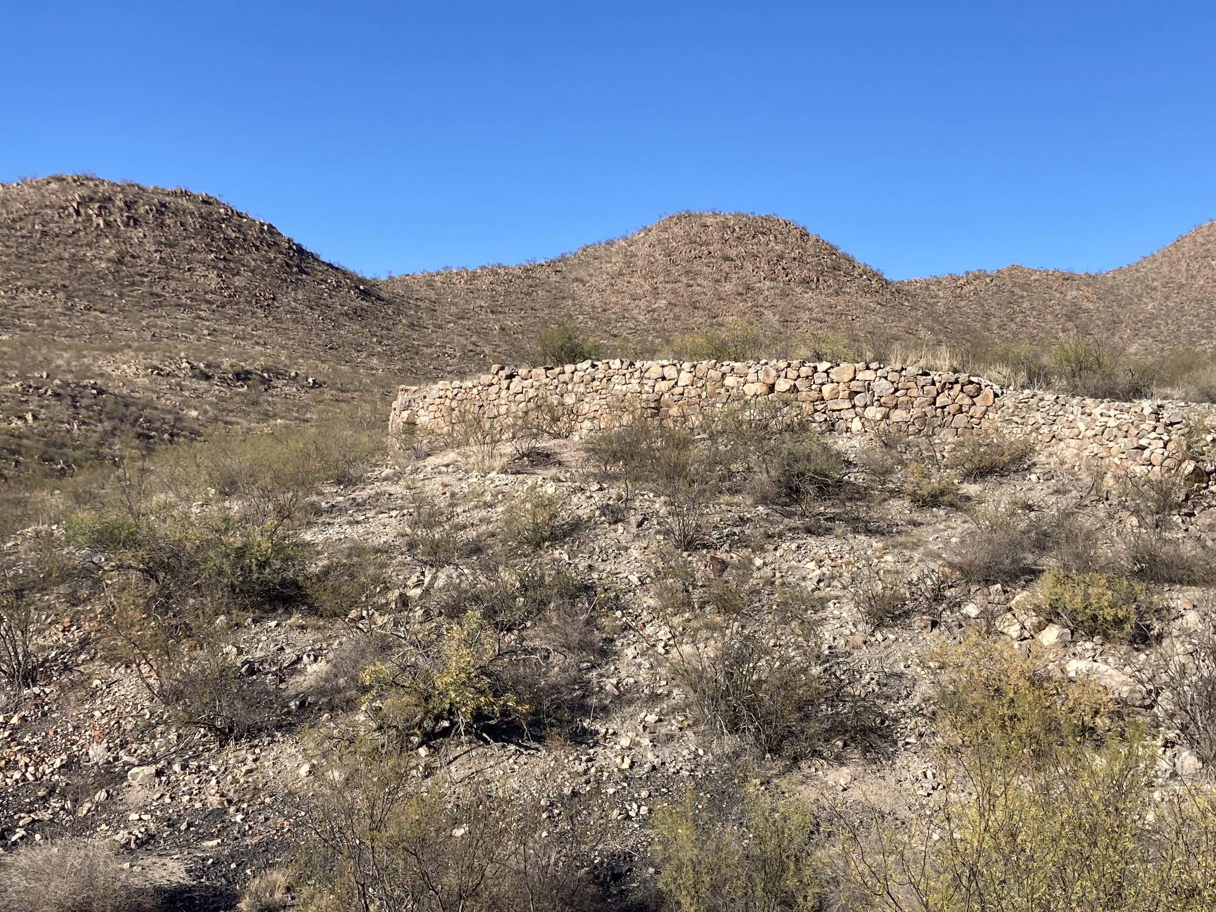
I eventually find my way to Charleston Road which leads to a parking lot on the San Pedro River with access to a very rough meandering trail, mostly bushwhacking along the river.  There are massive Cottonwood trees along the river and to my surprise there is flowing water.  There are a couple of river channels here and evidence that this small river turns into a raging flood zone at times.  After about 1 mile you arrive at a graffiti covered railroad bridge which used to be for the San Pedro and Southwestern Railroad.  My trail map tells me that across the San Pedro River is the old Charleston town site, now a ghost town.  Charleston was founded in 1879 and was a real town inhabited by people who worked across the river in Millville at the Stamp Mill.  It didn't last long when in 1886, the silver stopped flowing from the Tombstone mines and the Stamp Mill shut down causing the demise of the town.  All that remains now at the Charleston townsite are several melting adobe walls almost hidden amongst the trees.


https://en.wikipedia.org/wiki/San_Pedro_Riparian_National_Conservation_Area


https://en.wikipedia.org/wiki/Charleston,_Arizona


https://www.wyattearpexplorers.com/-charleston--millville-at.html


The San Pedro River

Evidence of mighty flood waters


Massive old Cottonwood Tree

A graffiti covered Railroad Bridge

Adobe walls are all that remain of Charleston


Charleston was a real planned  town site

A weird system of justice

Charleston Map

I then returned to the parking lot and drove a short distance away to another parking area to a well marked trail to the remains of Millville and the Stamp Mill site.  The Mill was established in 1879 and millions of dollars of silver went through the Samp Mill which ran for 24 hours a day, seven days a week.  As in Charleston, nothing remains except building foundations and lots of tin cans. There is also an area where Indian petroglyphs can be viewed in the rocks mostly along the old railroad right of way.


Mill remains are few

Remains of a former culture


After a quiet overnight at the Sierra Vista Walmart, I head on route 92 towards the Coronado National Monument which is about 25 away.  The Monument has a very nice visitors center with good exhibits on the Spanish Coronado Expedition that passed nearby and the natural resources, plants and animals of the Monument.  I recently saw a movie premier on recent discoveries relating to the Coronado Expeditions route through Arizona.  The route through Arizona is not completely known and there is much controversy amongst the various factions involved.  New evidence depicted in this film confirms a location where the expedition spent time, verified by many relics found on the site and evidence of a battle with the areas Indians.


The road leading into the Monument

It’s difficult to say good things about the Spanish explorers as they were mainly focused on the conquest of foreign peoples to claim their land for the Spanish King and take their gold, silver and other valuables by brutal force.  The purpose of this Expedition was claimed to be missionary, not conquest, however the objective was to find the “Seven cities of Cibola” reputed to be loaded with riches.  The Expedition left Mexico in 1540 and traveled through parts of Arizona, New Mexico, Texas, Oklahoma and Kansas, finding to their dismay, no riches and returning to Mexico in 1542.  I wonder how the Spanish would have handled the riches of the cities, if they had existed, as missionaries ? 


https://www.nps.gov/coro/learn/historyculture/stories.htm


https://www.legendsofamerica.com/coronados-expedition/


Communication was difficult

It was a huge logistical expedition

The Expedition discovered much, but no riches


The Monument is beautiful as I drive up Canyon Road paved part way and then turning into a steep, curvy dirt road to the Montezuma Overlook.  At the Overlook, I took a .4 mile trail to the Coronado Peak summit at 6,864 ft elevation.  There is a spectacular 360 degree vista into Mexico from the top.


Healthy looking cholla along the trail

Communication back to the Spanish King was difficult

Beautiful trail side views

Healthy Agave country

Looking down into the valley and  the road I had travelled up on


View along the Canyon Road

 Now,I'm  back on route 92 heading towards Bisbee, Arizona.  Enough of this educational, historic stuff, the real reason for this trip is to attend the somewhat rowdy and decadent Sidepony Music Festival which is taking place at various venues in Bisbee from Friday to Sunday.  
This is my third time attending this event, it’s pretty weird as is the "norm" for Bisbee.  There are approximately 100 small relatively unknown bands from the Phoenix area along with a few touring musicians covering lots and lots of music genres. These bands are mostly unknown to me and they provide no descriptions of the bands genre (It’s a free event, all volunteers) making it downright confusing.  It involves a lot of walking and as about everything in Bisbee is uphill or downhill and all of the venues are bars or restaurants / bars which makes you have to pace yourself to survive a full day from 10 AM to 1 AM.   It’s like a marathon !         


I am guessing at most of the band names as I did so much jumping around between venues and I found it near impossible to match bands and the time slots to the venues.  


One Man Band was a mix of comedy, coordination and was most entertaining


At Gene's Place, This is either "Field Trip"or "Roger"  I liked them a lot


Gene's Place video


    Couple of Wanderers Band was interesting


Roger is my guess, liked him a lot


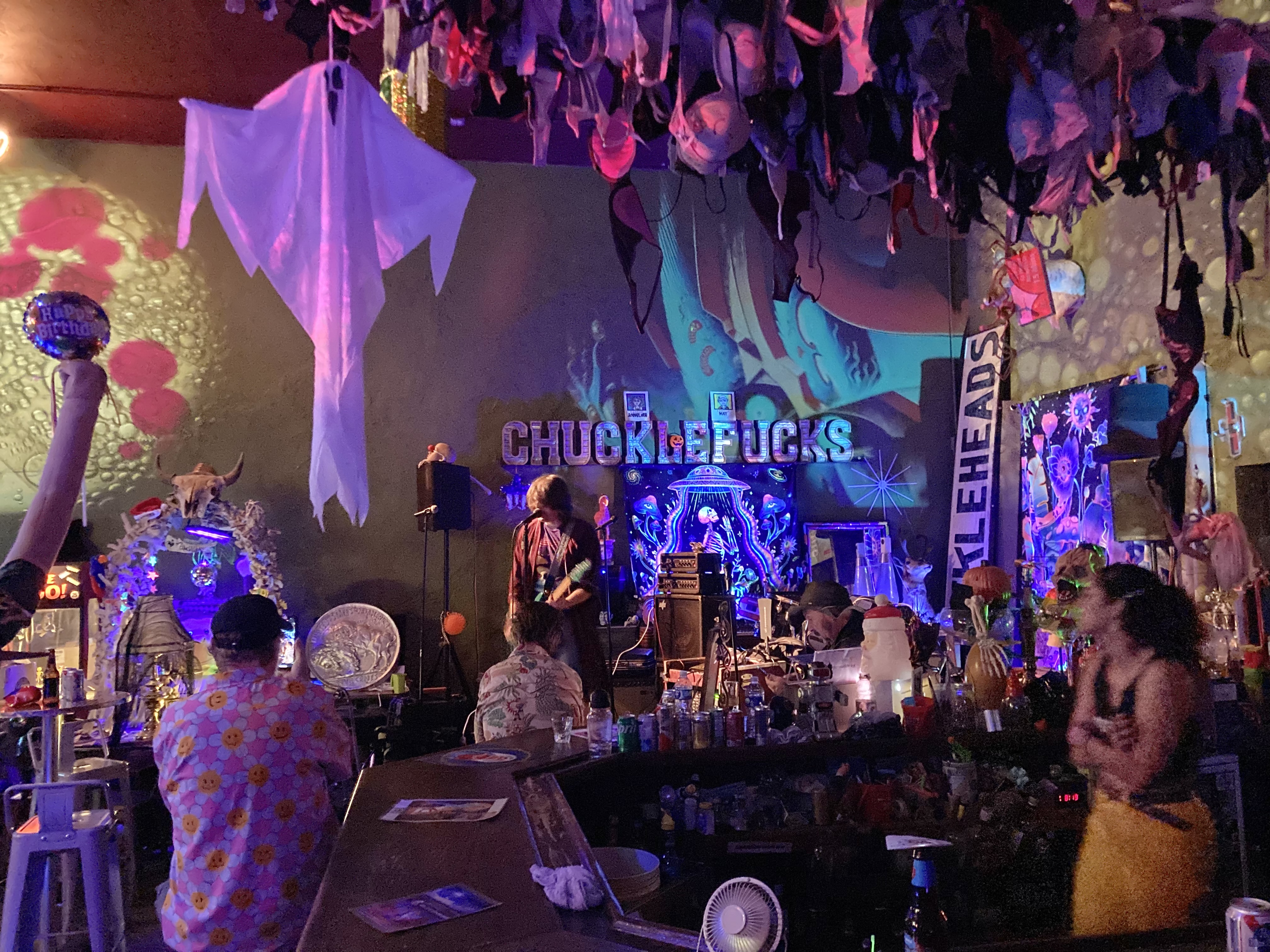
Chuckleheads has a intimate stage with a crazy light show  


Chuckleheads interior is dark with glowing lights and bra's hanging from the ceiling


Chuckleheads video

Early morning view of the beautiful Cochise County Court House

Mural in front of Court House parking lot

Copper Miner Statue with face mask and cleaver in place of hammer


The Whiskey Lickers Band was very good


Bisbee Social Club video

At Poco, Rad Prichard


At Poco


Bisbee downtown view


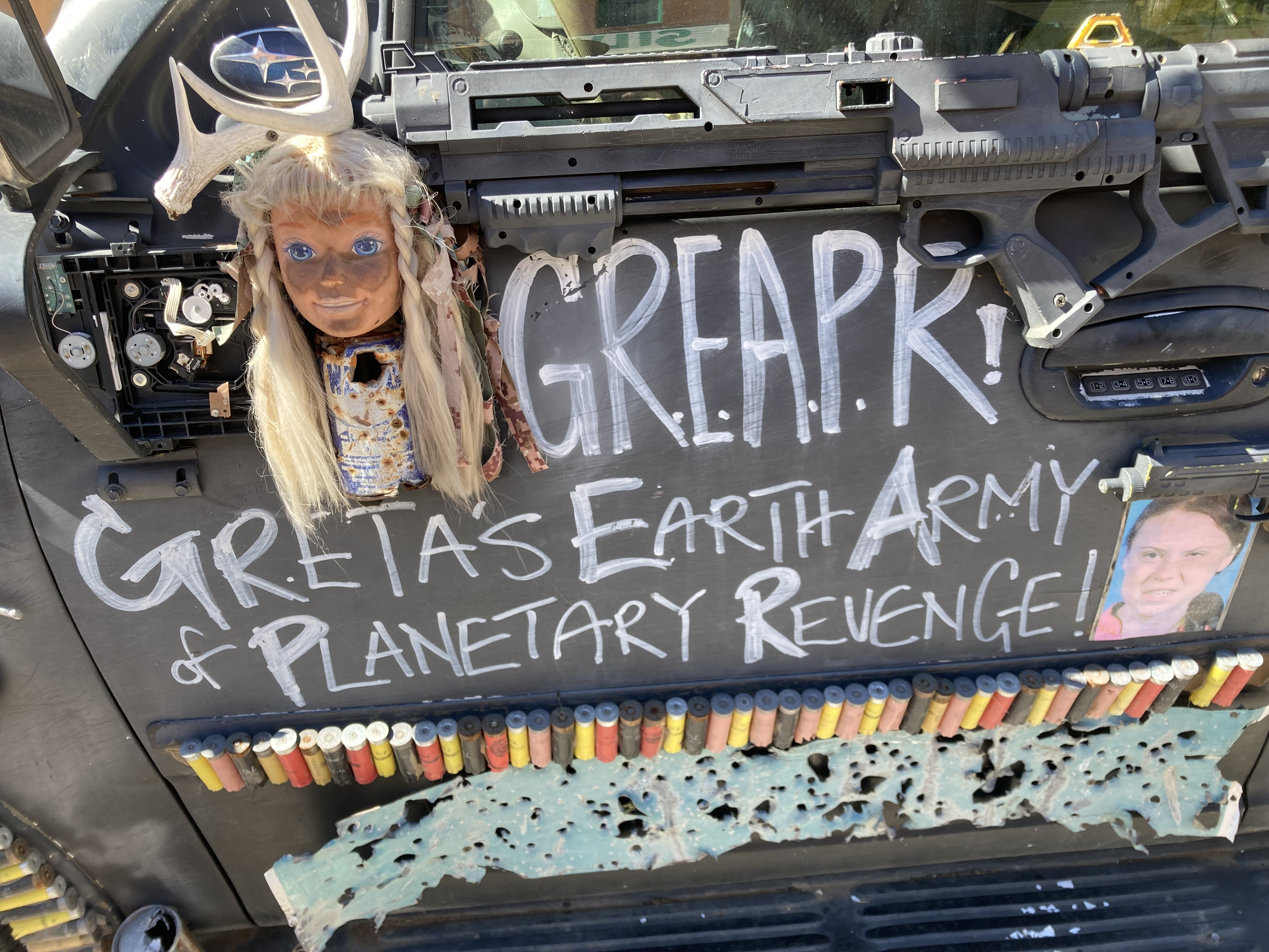
Greta's Earth Army of Planetary Revenge Vehicle


Something to think about

Inside the St Elmo Bar, watch out for flying cue balls

At Old Bisbee Brewing

A favorite Bisbee mural

Another creative mural


Old Bisbee Brewing with Las Chollas Peligrosas playing


 The End, it was a fun event and hopefully I'll do it again next year.