Trinidad, CO - Taos, NM - Santa Fe, NM - La Cruces, NM - Tucson, AZ
July 16 - 20, 2023
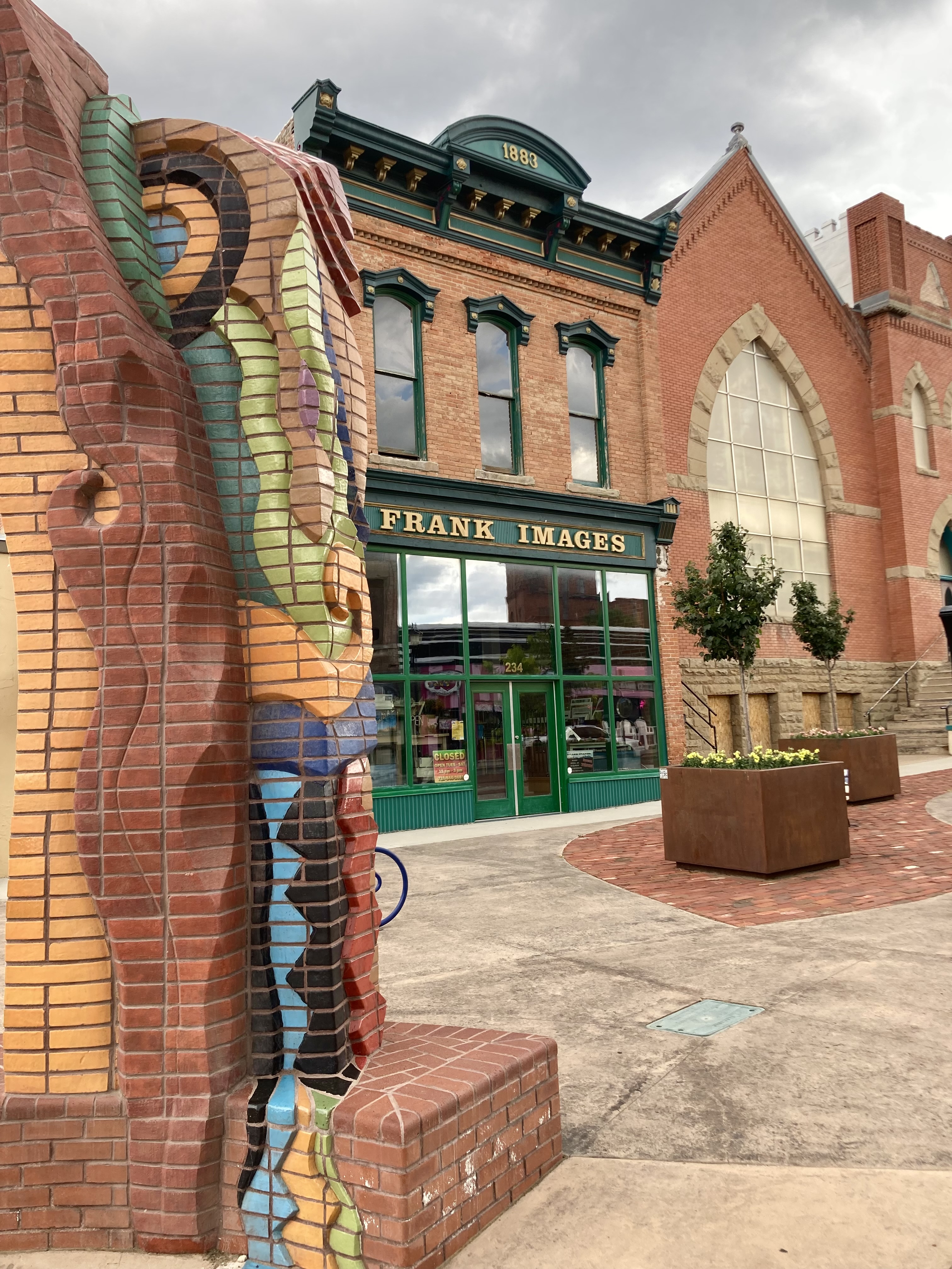
I arrive in Trinidad, Colorado and park about noon time just off of Commercial Street, the original Santa Fe Trail. This particular block now appears to be the dispensary area of Trinidad. It’s almost comical, the dispensaries are all lined up in a row, with a constant stream of cars and people coming and going. It’s probably the most vibrant shopping area in the city and I see all classes of people from the homeless to the wealthy. Pot seems to transcend all classes of people ?
 |
| Smoker friendly row here |
I go to the Museum of Western Art which I had hoped would be open, but it’s not as they are having a private affair today. In that case, I'm left to wander around looking for interesting camera, actually iphone, photos, which I often think allow for more creativity.
I also stop at an outside art show, lots of good stuff and decent live music, but the storm clouds look threatening.
 |
| I need a nice cafe right now |
 |
| Some day the Opera House will return ? |
 |
| Another cafe long time gone |
 |
| Band detail |
 |
| View from the arts show under threatening rain clouds |
 |
| Some structural issues to repair |
 |
| That's my social documentary photo of the day |
 |
| Beautiful Pueblo Indian sidewalk art |
 |
| Beautiful Bank |
By mid afternoon, the storm clouds are rolling in and storm alerts are being issued so I return to the van for shelter. The storm comes down with a vengeance, high wind, hard rain and light hail. I’m worried about the hail, it can do serious damage, I park half under a tree for protection and luckily it doesn’t get that bad, because that tree wasn't really going to help much.
After the storm, I drive to the Carnegie Library just to take a look, it has beautiful stained glass windows and is very nice.
 |
| Carnegie Library |
 |
| beautiful stained glass windows |
 |
| Library interior |
This is turning out to be a sort of wasted day, I start to look for a dinner place, but there isn’t much open on a Sunday evening in the the downtown area. I end up at McDonalds out of frustration, some days will be like this and then I go to a bar in the dispensary area, the Trinidad Lounge, which has live music scheduled. This place looks a little scary from the outside, but is decent inside and crowded with people. There was a duo playing old country standards for the most part who were OK, but not my style. I retreated back at the local Walmart near the Rason Pass.
 |
| The Trinidad Lounge |
It’s now Monday morning and I’m taking Rt 25 south down the the steep Raton Pass to route 64. Route 64 is a scenic route through ranching country and parts of it are on the original Santa Fe trail route. I make a stop at the historic town of Cimarron which has several historical signs on past pioneers, wealthy land grant owners, business speculators, miners, thieves, killers and other notable people. There are several original buildings here but most have been turned into coffee shops, various stores and outdoors outfitters. I really wasn’t that impressed with any of them. I saw many young hikers wandering around, but mostly in the the coffee shop.
https://en.wikipedia.org/wiki/Cimarron,_New_Mexico
Shortly after leaving Cimarron, route 64 climbs up into the Carson National Forest and the Cimarron Canyon State Park. There is road construction which takes the road down to a single lane causing alternating traffic flow and delays. It’s a beautiful ride, but the road is narrow and there are many RV’s so you have to keep your eyes on the road.
There are many day use areas, campgrounds, hiking trails and it is a popular fishing area with a creek running adjacent to the highway.
https://en.wikipedia.org/wiki/Cimarron_Canyon_State_Park
I then arrive at Eagles Nest, NM adjacent to a huge reservoir called Eagles Nest Lake with many houses, boat docks, fishing and other outdoor recreation attractions. This is part of the Enchanted Circle Scenic Byway. A road junction there also takes you to the Angle Fire Ski Area making this a popular four season resort area. I actually believe I have skied there once, many years ago on a weekend trip with a co worker when working on a railroad project in Colorado.
https://en.wikipedia.org/wiki/Eagle_Nest,_New_Mexico
The road continues at a more relaxing pace to Taos, NM. As you enter Taos, you are somewhat overwhelmed by the beauty of the Spanish architecture of the older houses on the outskirts of town. I enter the old central square tourist area thinking parking was going to be horrible, but actually it was easy. I pulled into a small city parking lot, about one block from the center town square, it was about half full and since it was a Sunday parking was free. I’ve been here before, I kind of know my way around, the central shopping area is really not large, it’s easy to walk around even when it is close to 100 degrees. I looked in couple of art galleries, way above my cheap ass price range and quickly left, but I like to look. I feel that most of this art is over priced, I would much prefer to buy it directly from the artist.
https://en.wikipedia.org/wiki/Taos,_New_Mexico
I’ve been to the two prominent historical attractions, the Kit Carson House and the Charles Bent house previously so I by pass them this time. I see a sign for the early cemetery where many of the early residents were buried and drive to take a look. It was tricky to locate and there was very limited parking, it would have been easier to walk. I am surprised that it not especially well maintained, actually it’s poorly maintained. There are historical plaques on a few notable graves and most graves are from early 1800’s to early 1900’s. The most famous person Kit Carson and his wife of 25 years Josefa (she had to a saint) are buried there side by side along with several other family members.
 |
| Sorry, but he's no hero of mine, a horrible man |
I then drive out of town a few miles to the Taos Mesa Brewing Mothership. This is an interesting brewery and music venue that I’ve been to once or twice before. They have a very limited food menu, but it’s OK, I’m here for the music. A band is playing at their outside stage who I have never heard of, "Stone Daddy", they are all local seasoned, veteran players who can play about anything and do it well. They played a wide variety of cover tunes and a few of their originals and it was very entertaining. My only complaint is the band name, Stone Daddy, that has to be one of the worse?
I then return to Taos, searching around for overnight stealth site in the town as my dispersed camping app tells me that the local Walmart does not allow overnighters. I finally decide on a medical office parking lot in a dark hidden location. In the morning, I leave the parking lot early and head to a local convenance store for coffee and then go to Walmart to get a couple of things. I couldn't help but notice about 10 camper vans in the parking lot that had spent the night for sure. You can’t always trust these apps and web sites ?
I get on the road heading out of Taos when I see a the beautiful historic San Francisco de Asis Church next to the road. I pull over to get a few photos when I realize I have been here before, but the light is great, so I get out to take some photos.
There is a man tending to the flower beds who is talking to another visitor and I hear him say he is from New Jersey. When the other man walks away, I ask him about New Jersey and find that he has spent much time at the Jersey shore area that I am familiar with. We have a pretty interesting conversation, he now lives here in Taos and is a member of this church.
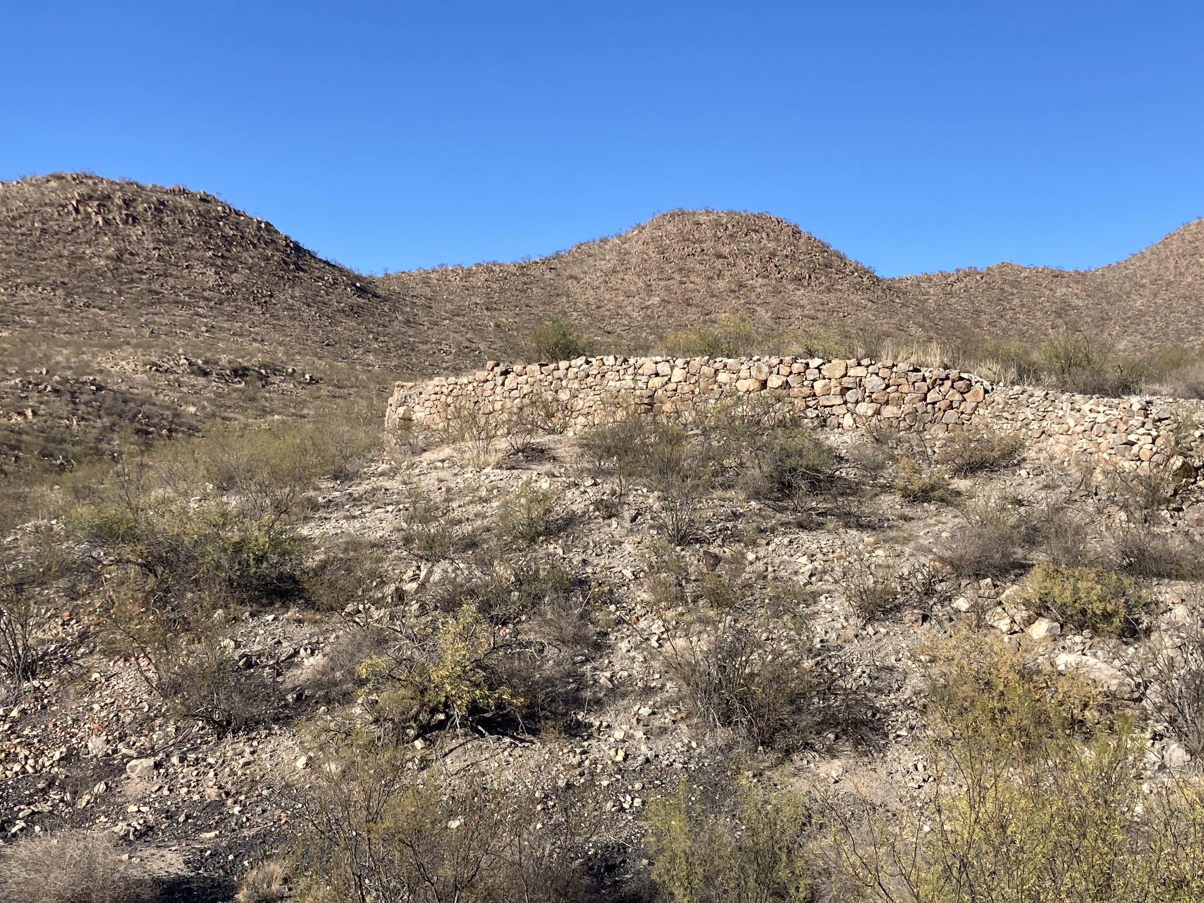
I then continue south on route 68 which follows the old Santa Fe trail closely through hilly grass covered cattle range land. The route is elevated and you can see far down in the Santa Fe River Canyon. I make a stop at a trailhead for a hiking / horse trail that goes to the river but it is several miles and I’m not up to that in this heat.
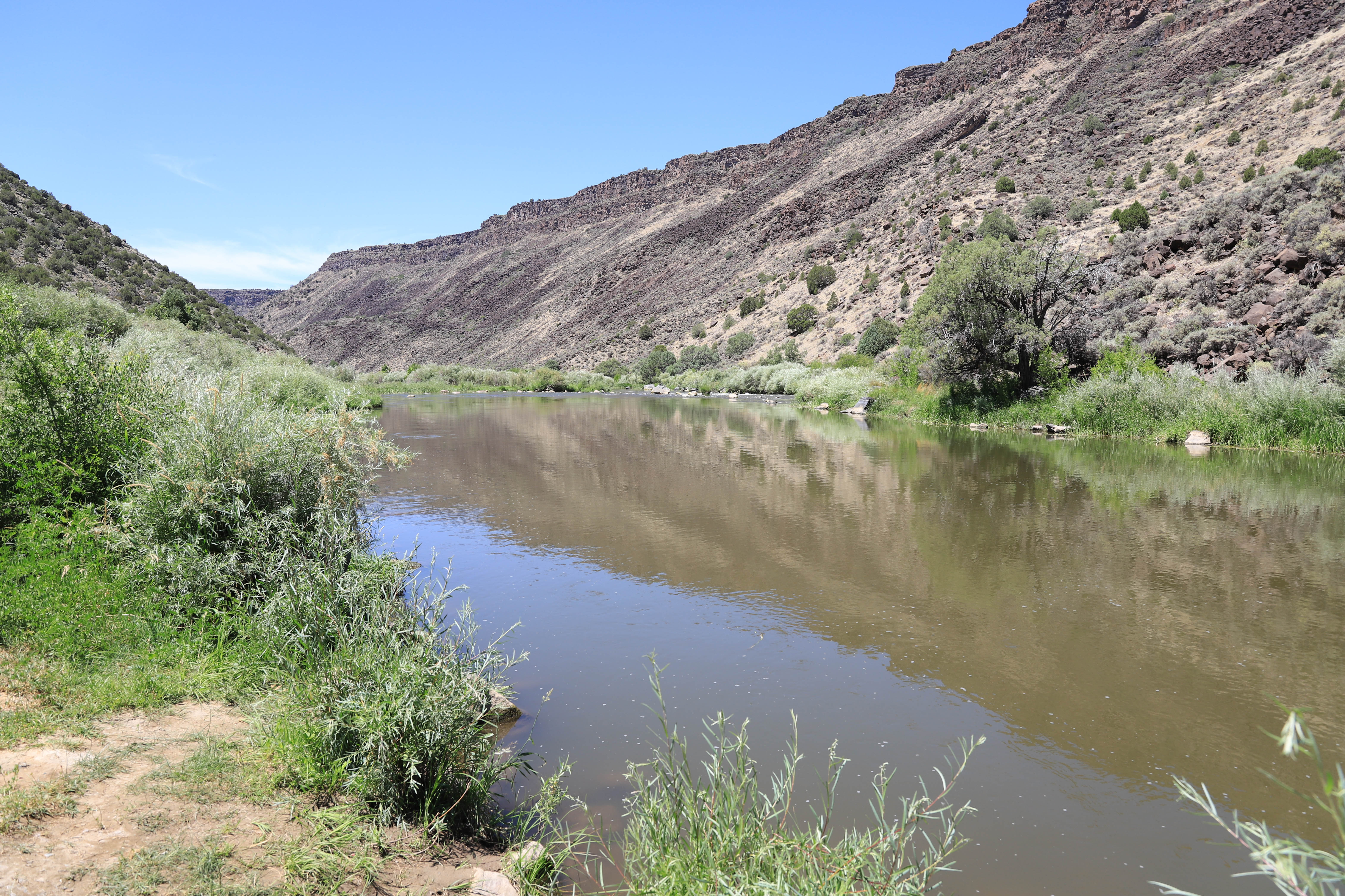
I continue and make a stop at the Rio Grande Gorge Visitors Center and am told by the person there that across the highway is the old town of Pilar NM and if you follow the road it takes you into the Rio Grande River canyon. There are also several campgrounds there, with no hookups, but some have bathroom facilities, they are right on the river and are very scenic and cheap. There are many campers here, it appears to be a popular site and there is river access. The river is beautiful and there are many people on the river in rafts. I'm thinking, this is the spot I should be camping at ?
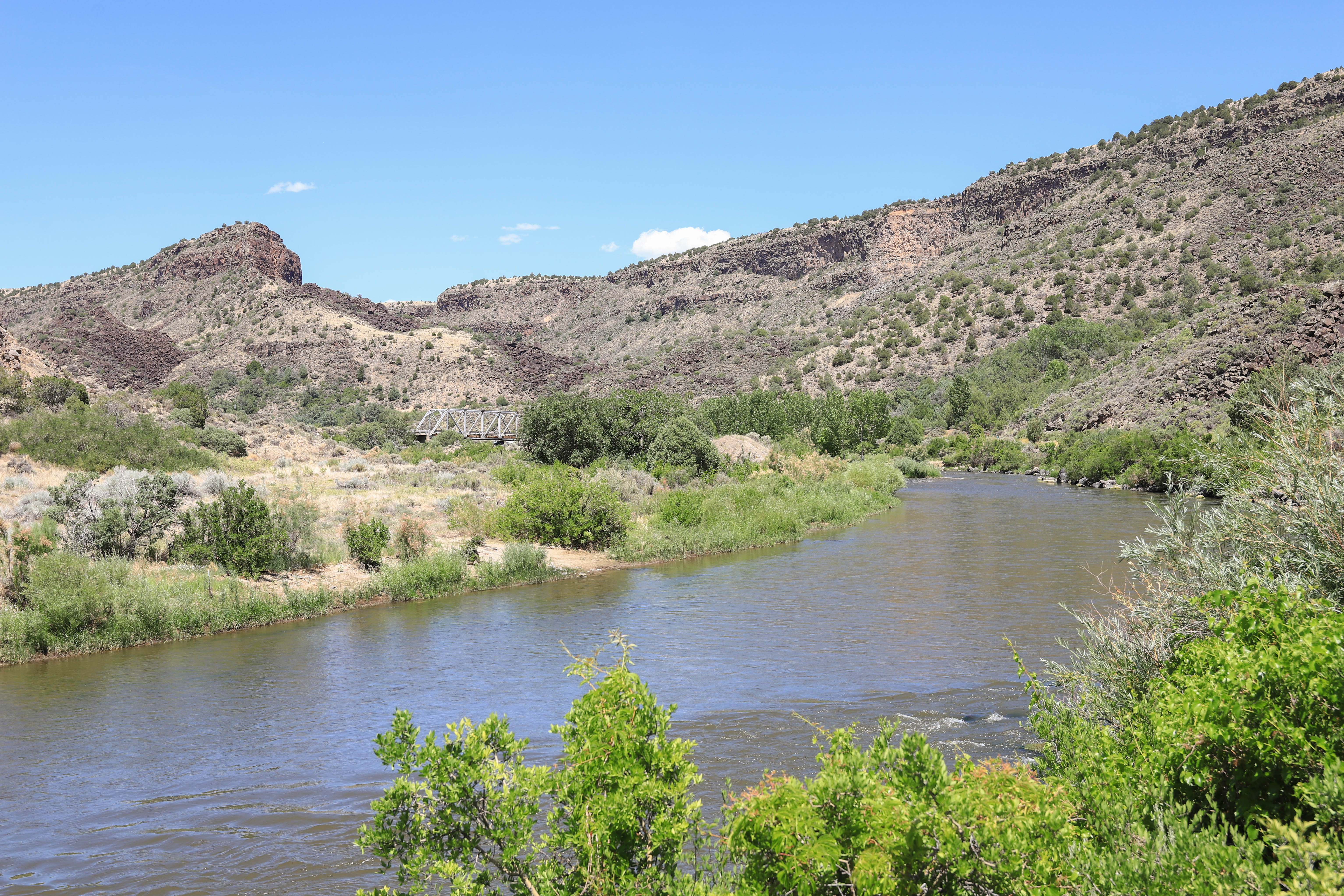
After approximately 5 miles in I reach the trailhead for the Slide hiking trail. This trail was recommended to me back at the visitors center. On the map, it shows that this was once a road, many years ago, (old route 570), but is overgrown with vegetation and rock fall. It is a gradual uphill climb, in full sun and it was hot, it runs parallel to the river but climbs higher and higher above the river. Eventually you are way up above the river and looking across to the opposite canyon side which is even higher. I went probably to within a 1/2 mile from the end when I decided to turn around, this trail seems longer than expected, it is very hot and I was thinking about the cool river water below ! On the way back, near the bottom I did get my feet wet and soaked my very sweaty shirt in the river, it felt wonderful putting it back on. Later, back on the highway, I could see many raft outfitters groups on the river which has a fast current and moderate rapids in places.


I'm then back on the highway driving past several Pueblo Indian areas such as Espanola, La Puebla and others with many casinos, dispensaries and murals. It was congested with rush hour traffic, it was hot and I was tired and rode past them all thinking I will return tomorrow.
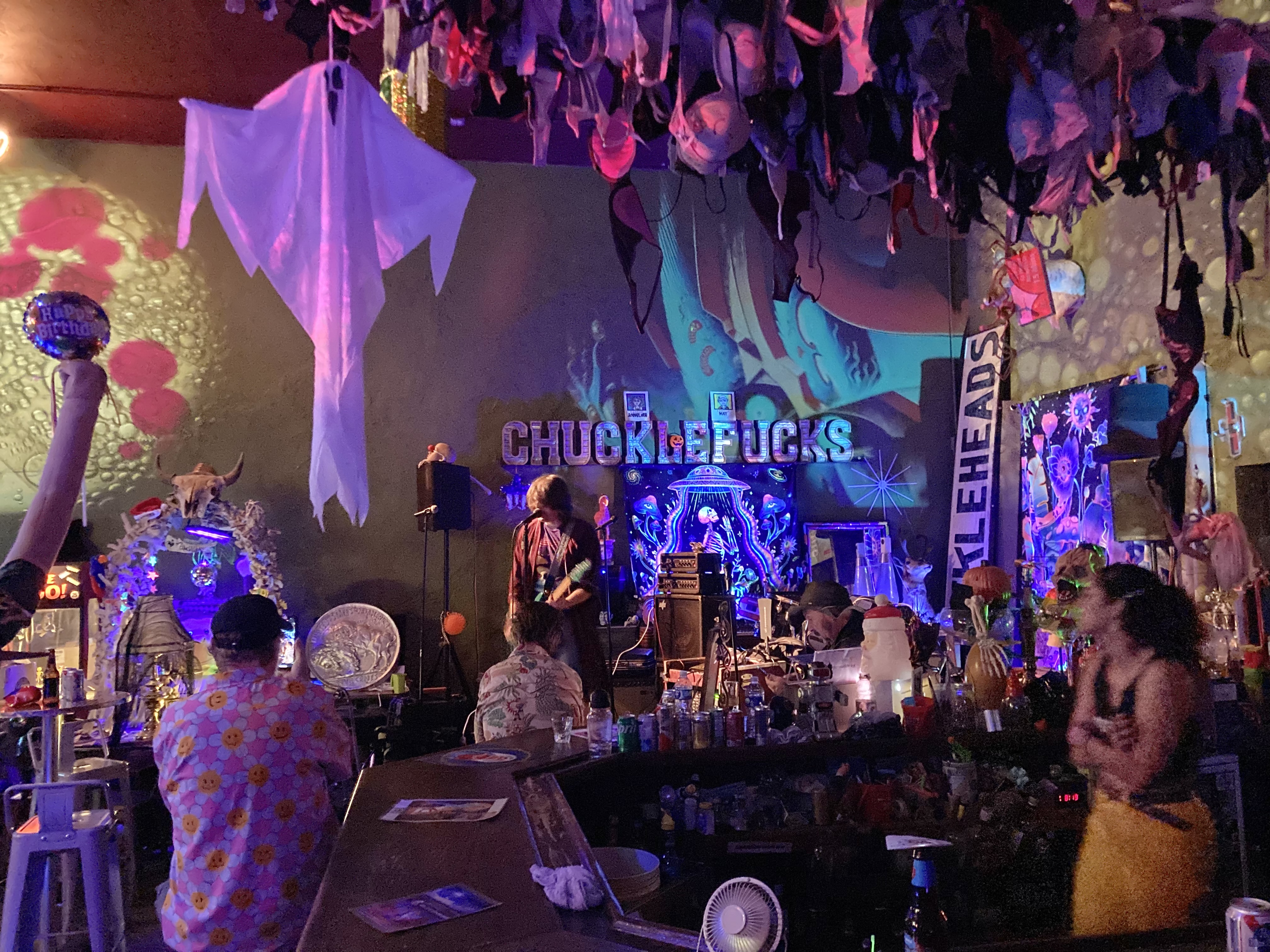
I arrive in downtown Santa Fe about 6:30 PM, park and go directly to the Cowgirl bar and restaurant as I wanted to hear a local musician who was playing for the dinner crowd. I had a poor seat far away and could barely hear him so it was a bit of a disappointment.
Afterwards I go to the downtown Santa Fe Plaza area to see the entertainment. While I'm waiting for the show to start, I walk around and take a few photos. The entertainment was an americana singer / songwriter, Bard Eldrige V and the Blackbirds, who I was liking a lot. He was followed by a more conservative old country band playing country dance songs.
 |
| Beware of people who say; We come as friends |
 |
| Very elaborate vases made for weddings |
 |
| The guardian of the water meter ? |
 |
| Statue in the Basilica of Saint Francis of Assisi |
I unfortunately had to shorten this video to fit and the equally good beginning is omitted.
I then went to the Walmart to see if any campers were in the parking lot, there were none and they have signs posted all over, “No over night vehicle or RV parking allowed”, I left and found a good spot on Aztec Street near the Cowgirl Restaurant for the night.
In the morning I drive over to the nearby Railyard and park and start seeing people with bags coming over to the building in front of me. It turns out that it is the Tuesday farmers market so I go over to look around and get a muffin and a coffee for my breakfast. A good start for my day.
 |
| It was just getting started but it is a great farmers market |
 |
| Across the street is this most interesting mural |
 |
The Solace art project done by Earthseed Black Arts Alliance which was
destroyed by arson a few years ago, recently repaired |
https://www.sfreporter.com/news/2021/08/22/arson-destroys-downtown-art/
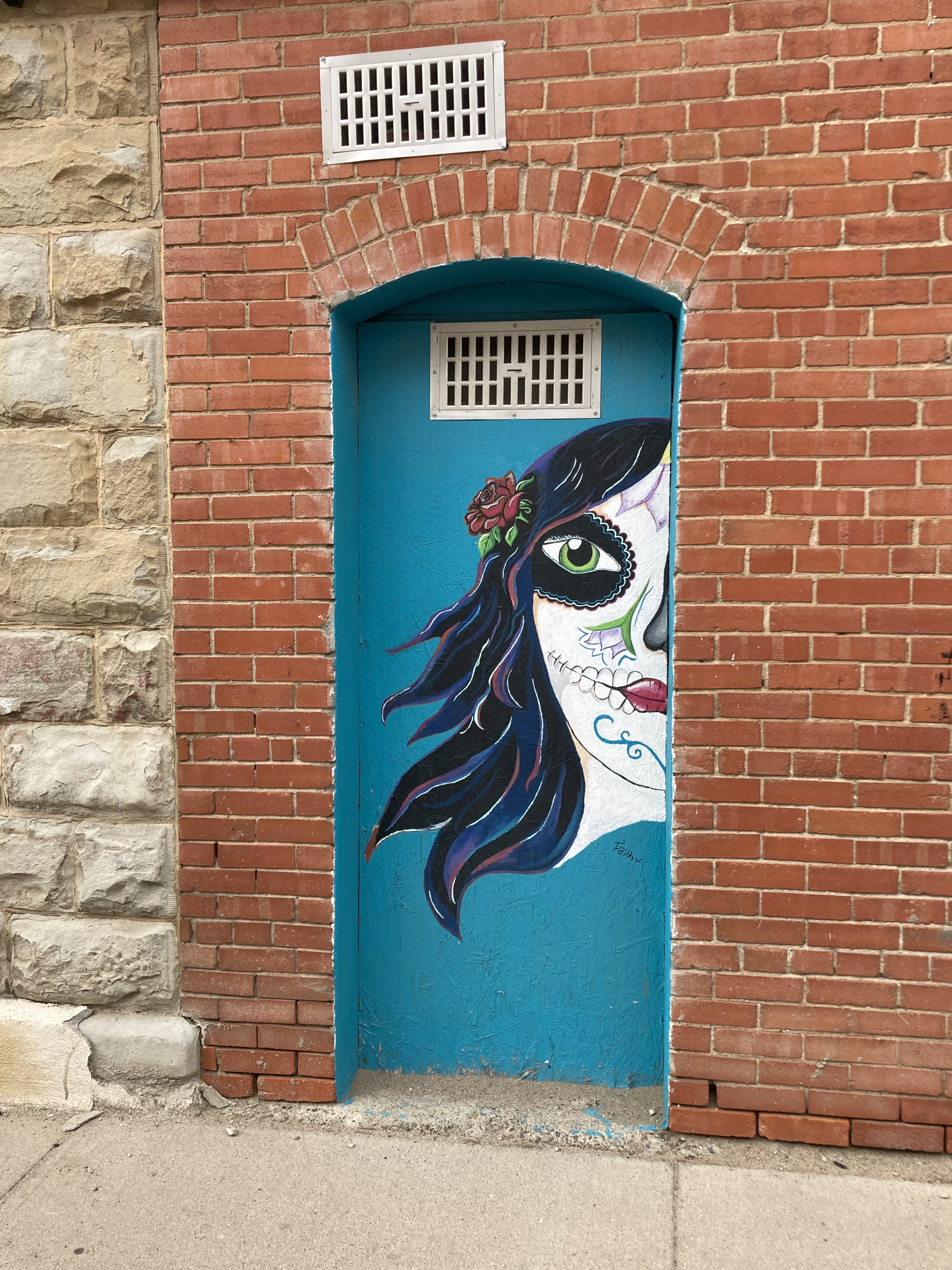
Now, I decide to go for an adventure away from Santa Fe, north to the Puye Cliff dwellings. On their web site I didn’t see anything about it being closed, but upon arrival the gate was definitely closed. That sucked, but I have a back up plan to roam around the pueblo towns I had passed by yesterday. This area is interesting, lots of murals, interesting signs, old trading posts and lots of adobe buildings of Spanish influence. It’s ironic to me that these Puebloen Indians who were so enslaved by the Spanish actually took on much of their culture. The tribes in this area seem to be doing quite well with their impressive casino hotels designed to look like Pueblo Villages.
It might seem like an abundance of murals to you but I can assure that your only seeing about 1/3 of them here.
 |
| This pueblo is situated somewhere in the distant mesa, I'm sure it is quite a sight |
 |
| So many Pueblos here |
 |
| Espanola, NM was covered with murals |
 |
| For Victor |
 |
| The original ! |
 |
| Great name for a hair shop |
 |
| Saints and Sinners are welcome here |
 |
| Indigenous Arms Gun Shop |
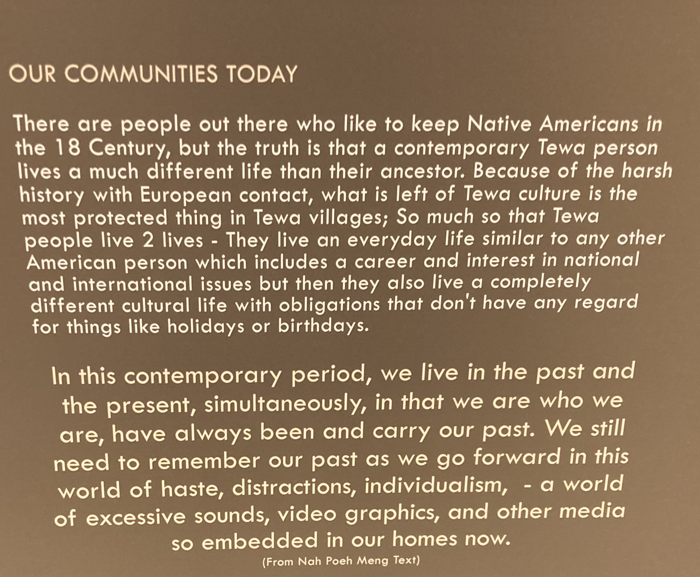
I stopped at the Poeh Cultural Center situated in a beautiful Pueblo looking building and went through their museum. They are thrilled to have worked a deal with the Smithsonian Museum to get returned to them over 100 original Tewa Pueblo Pottery pieces, taken away by Archeologists in the early 1900’s. They now have them on display in a special exhibit and is a "co-stewardship " deal between the Poeh Cultural Center and the National Museum of the American Indian.
They have a unique exhibit that takes you on a tour of their history from creation theory to prehistoric times to the present, especially highlighting how horrible and brutal the Spanish were to their existence.
 |
| The Poeh Cultural Center is beautiful |
 |
| The interior is also a work of art |
 |
| These dioramas are well done |
 |
| The wild eyed priest lashing a native |
 |
| These tribes have learned how to work the capitalistic system |
I make two additional stops along the highway to see this interesting rock formation and a huge impressive Hotel and Casino.
 |
| They call it Camel Rock ? |
 |
Retaining wall with spikes to deter people from climbing on the rock, but
they do not deter visitors from writing on the wall |
 |
| A most ferocious warrior statue |
 |
| Buffalo Thunder Resort Casino or Camel Rock confusion ? |
 |
| Pueblo of Tesuque sign |
I’m now switching gears again heading back to the downtown Santa Fe Plaza for the concert series. This show is one that I am really am looking forward to, the opener is a local old timer, Bill Hearnes, who does good ole cowboy country, not the like the whiney, crappy new country that tops the music charts today.
The main act, James McMurtry was the one I wanted to see. He is an incredible songwriter with poetic and introspective lyrics that could be compared to Bob Dylan. He also is a great guitar player, a good vocalist and is backed by a great band.
https://en.wikipedia.org/wiki/James_McMurtry
https://www.jamesmcmurtry.com/home.html
Suddenly today, I’ve noticed a vibration in the van which I hope is due to the rear tires being worn down to or very near the wear indicators.
For the balance of this trip, I’m just staying on the road, no scenic stops, no exits for museums or scenic areas, hiking or even a simple photo. It’s going to be a forced drive straight to Las Cruces, NM where I will stop at Cracker Barrel for the night. They have a nice quiet lot, but in the middle of the night, I am bothered by this horrible smell, really bad, so I move a mile away to a nearby Walmart. It weird, it has the same odor, but not as strong and I drift back to sleep.
It now about 6 AM and I have decided to set my mind at ease somewhat by jacking my front wheels off the ground, shaking and rotating my tires to check for looseness or roughness. I just want to know that my front wheels are OK. Since I’m at a Walmart Tire store, I then decide to see if I can get two new tires on the rear. It turns out after sitting in their nasty waiting room for an hour, that they don’t have the tires shown in their inventory, but another nearby store may have them. I drive to the other store only to hear the same story after wasting another hour or so. Walmart auto department is terrible !
At this point, I decide to just drive it as is, take it a little slower and if it gets worse, I’ll just stop at the nearest town. It’s a straight 250 miles mostly on interstate 10 west back to Tucson from here. I do take a couple of photos in Las Cruces and I believe one highway rest stop.
 |
| It's a hotel front and I have no idea what it means |
 |
I parked in the parking lot of the Center for progress and justice and admired the
indigenous plants, sage I believe. |
 |
| A quick stop in Truth or Consequences, NM |
 |
| The Ft. Craig Rest Area with a beautiful Yucca |
The vibration doesn’t get any worse and I’m pretty sure it’s the tire wear. I start to build confidence as I get closer to Tucson and increase my speed. This last day has been pretty horrible, but overall this trip has been trouble free. The heat this summer has been wicked at times and the area storms were troublesome, but we made it through without damage.
In summary; I put 5,292 miles on the van during this trip and the engine has run stationary for many more hours just to run the AC to cool me.
I traveled through parts of Arizona, New Mexico, Colorado, Texas, Illinois, Kansas, but mostly in Oklahoma. I saw and learned much on this trip, Oklahoma is full of treasures. I was gone for 50 days, stayed overnight in about 25 different towns/cities and stopped to explore about 50 other towns along the way, visited at least 20 museums and a few art galleries, took 5,339 photos between camera and phone, met a few characters and a few assholes, saw many bad drivers, but managed to avoid them.
I’ve had people ask; Why Oklahoma ? What’s to do or see there ? I have no good answer for them. I saw this Edward Abbey quote before my hike into the Santa Fe River canyon which inspires me.


