June 11 - 18 , 2020:
After a second relaxing nights sleep at Walmart, I depart Page heading north on route 89A back into Navajo country. This is a beautiful scenic drive, I have to give the Navajo credit, don’t know how they managed it, but they ended up with some of the most beautiful country. I made a stop at the Navajo Bridge which is now a double span, the original truss bridge, now a pedestrian bridge and the newer bridge that was built to accommodate higher weights but compliments the design of the old bridge. There is a visitor center there, but unfortunately now closed due to the COVID-19 situation.


I then continued to the entrance for the Vermillion Cliffs National Momument which has great rock formations and leads you to a fishing and beach area on the Colorado River. It felt real good to take my shoes of and walk in the cold water. The river flow fast here with small rapids, nice to see running water agin, not much of that in Tucson. There is interesting history here, as it is the site the Lee's Ferry crossing of the Colorado River and an old mining endeavor. The remains of the old fort, a mining building and assorted mining ruins remain. It was a short and unsuccessful mining operation.
A ancestral Pueblo ruin was shown on my road map which was right next to the highway and really interesting and quite unbelievable to me that it remains. I would have thought everything would have been carted away for souvenirs long ago. The ancient ones had build rock walls around huge boulders that had fallen from the surrounding canyon walls to make into dwellings, pretty creative.


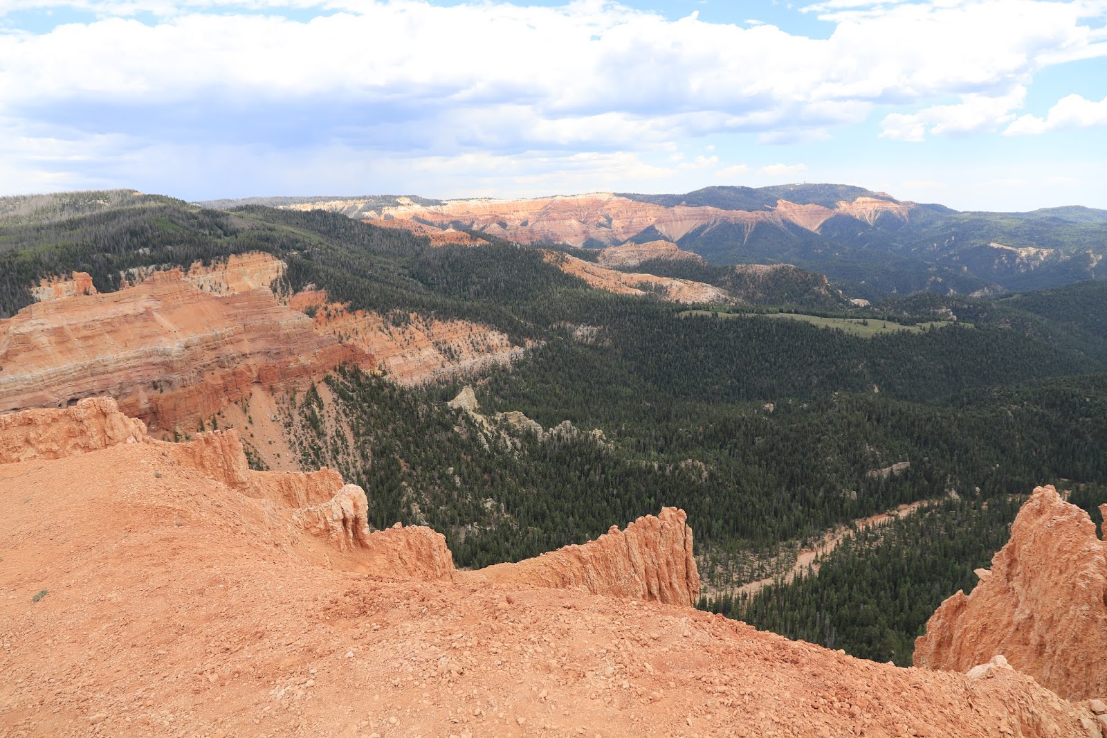
At the town of Jacob Creek, I go south on route 67 to the north rim of the Grand Canyon. The north rim is much different than the south rim, way more forested, at a higher elevation, cooler and wetter (mainly more winter snow). It is also more relaxed with less tourist crowds. The majority of the north rim attractions are in forested areas and to get to the remote areas you must drive winding forest roads. I kind of liked the more rustic natural feel to it although the views aren’t quite as spectacular as at the south rim. I did a short hike on the Bright Angel Point Trail near the main village area to a great overlook and then drove about 15 miles away on Cape Royal road to Point Imperial with many more great views.
Portions of the forest along the road have burned in the past decade or so and Aspen trees have moved in.
As I had driven into the National Park there was a forest fire burning in the distance on the Kaibab Plateau that looked potentially serious. On leaving the park latter in the day to look for a camping site, the fire was looking considerably larger with a smoke plume going high into the atmosphere. I was able to find an easy camping spot along a nearby National Forest road and overnight the temperature dropped to the high 30’s.


In the morning, the fire was still going strong as I went into the Park and took the Cape Royal Road to the for the Cape Final trailhead. The 4-5 mile hike to Cape Final Point trail was excellent with many side diversions. I had managed to see about every roadside view point along the long winding road Cape Royal Road by 1PM, at which time I thought it might be wise to leave the park and head towards Kanab, Utah. Driving south on route 67 it looked like I was heading right into the fire, but traffic was flowing fine and the route ended up just skirting around the fire zone. At Jacob Creek, I head west on route 89 to Kanab, Utah where I find a spot in town to stealth camp for the night.


June 13 - I take route 89 south to just beyond exit 31 and turn left on to a dirt road with a monument to to the old town of Pahreah and information about the western movie set that was once located down the road. It’s a beautiful drive and a decent dirt road but not well marked. You eventually arrive at a parking lot with a faded information sign on the movie set which no longer exists. Vandals burnt it down several years ago. Continuing down the road, very confused as there are several roads, all unsigned. I eventually come to the old fenced in cemetery, now I know I am going in the right direction. The road seems to be leading me to green trees which must be along the Paria River and the old town site. The road dead ends at the river and there are several cars parked and people out walking down the river. I see no signs of a town, not sure why these people are walking down this trickle of water. Returning down the road I come upon several young women with a large pickup truck pulling what looks like a 40 foot long horse trailer. They wisely stopped at a large open area and waved me down to ask about the road ahead. I told them to leave the trailer rig right there, where they could turn around, no place to turn it around down the road.


Then back to Kanab where I reserved a room for the night to get cleaned up. I was not impressed with Day’s Inn, bad choice, take them off the list.
The BLM is holding the lottery drawing on Monday morning in Kanab for the (10) lucky people to be given permits to hike in the famous “Wave” formation. I attend and put in an application, there about 120 + people in the lottery, the odds are poor and I was not lucky.
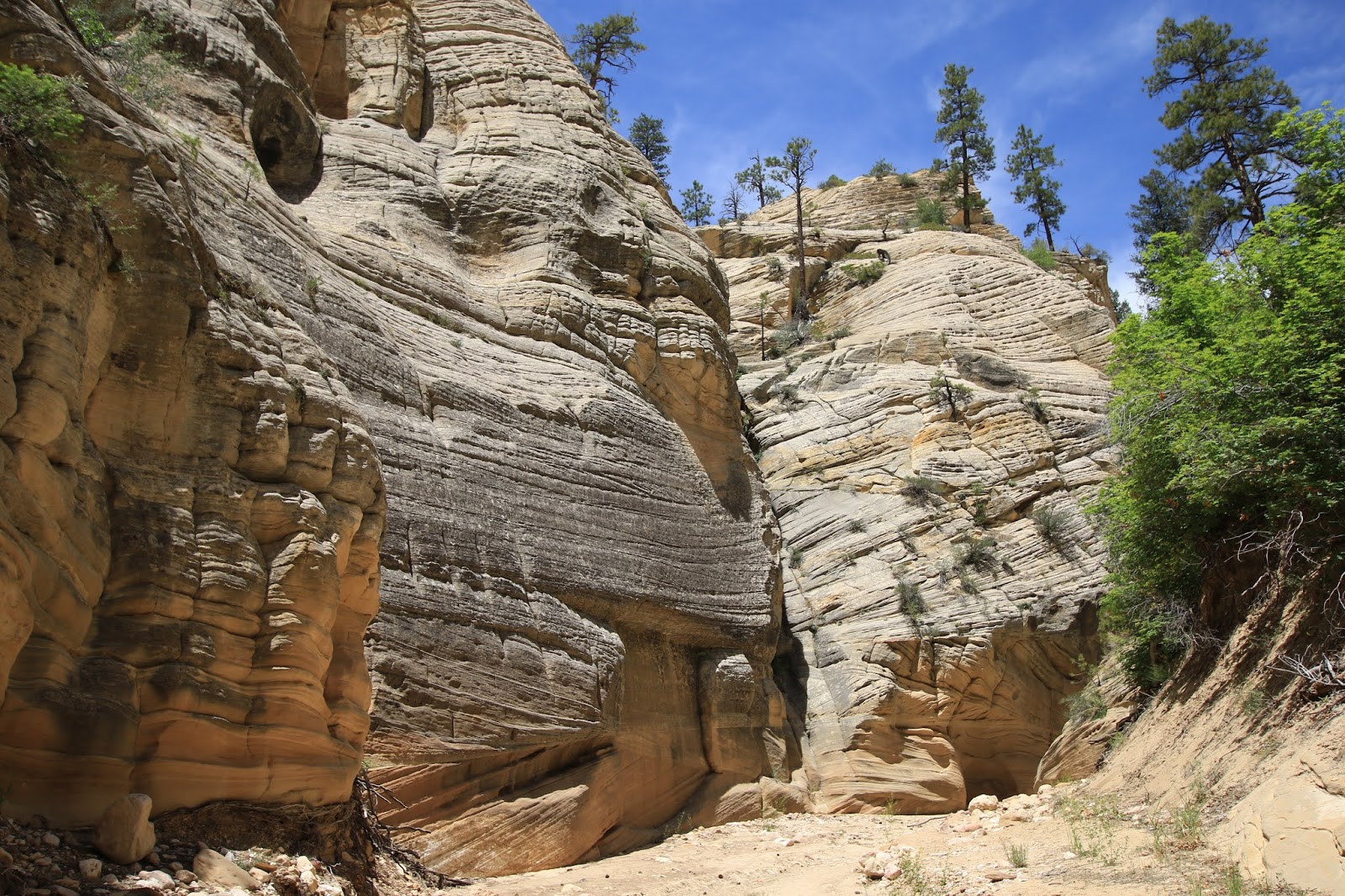
Instead I head about 9 miles east of Kanab to Johnson Canyon Road which is another scenic ride through irrigated farm land surrounded by huge colorful rock formations. I return the following day to continue onto Skutumpah Road #500 which is dirt and rough in areas, for 15 miles to the Lick Wash Slot Canyon trailhead. I did about a 5 mile round trip, you can go much further, but I had stopped often for the views and time was limited. It was a great hike ! Almost made the hard ass dirt road trip worthwhile.


My rant rant for the blog:
I am a little upset about the BLM management, they have all their regional information centers closed, the Peek-A-Boo OHV area north of Kanab has a faded old sign up saying no overnight camping is allowed due to the Covid-19 situation. I know this is meant to do the right thing, but it is a total failure, practically no one is following social distancing protocol or even wearing face masks. The majority of private campgrounds are now open, the BLM needs to face reality and just open up fully and stop pretending to protect people from harm, the tourists just don’t care. The same with Zion National Park, they are not running the park shuttles, so they have limited the number of cars traveling into the most popular park areas, pissing everyone off, especially the majority who are not following distancing practices or wearing a face mask at all. Also it seems only half the trails are open for one reason or another. Of course the reservable only campground, the Grand Lodge and the park store are fully open. The park is also losing a ton of money since there is no entrance fee with the partial opening.
I leave Kanab and travel to Mt Carmel Junction about 12 miles from the east entrance of Zion NP and stay at a BLM campsite adjacent to the the ominous "Belly of the Dragon" which is actually just a water tunnel carved through rock.
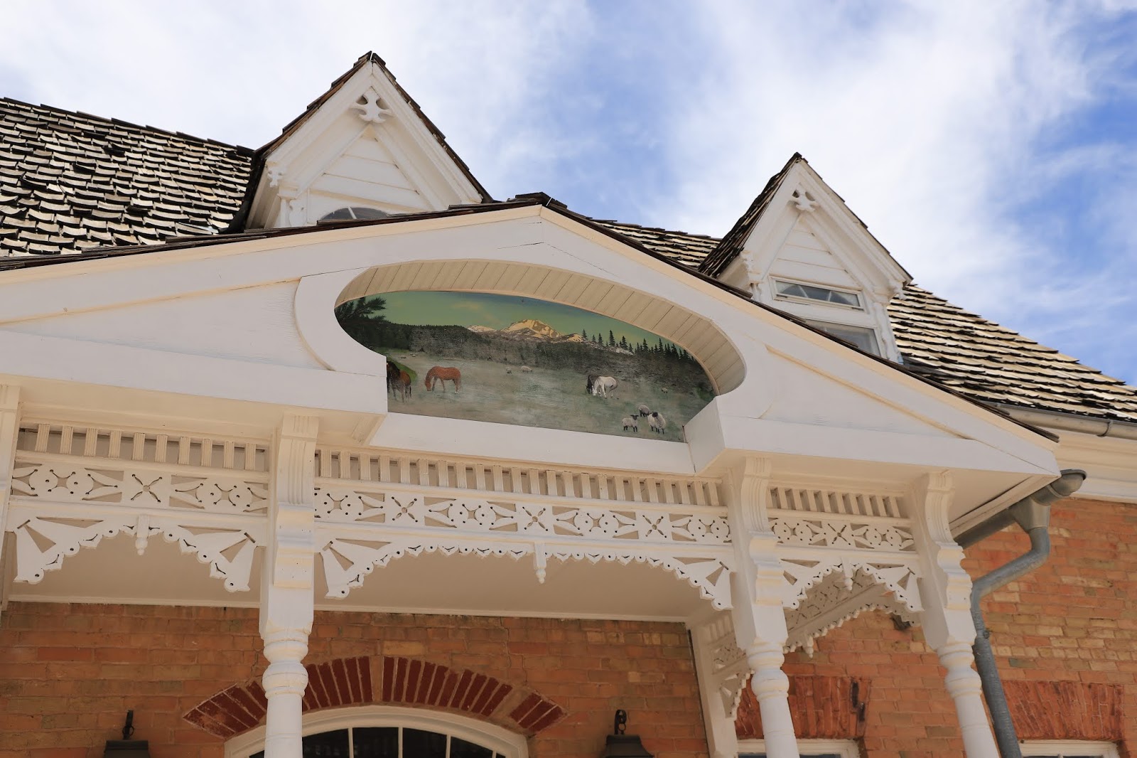
I then that myself to a diner at the cool Thunderbird restaurant.
 |
| The Thunderbird Restaurant |
Arriving at the east entrance of Zion National Park and getting in in the early morning was no problem. I then traveled across the east side of the park without incident. I then came to the problem; closed entrance gates to the Zion Canyon Scenic Drive. This indicates that all parking areas along the road are filled and they will not open the gates until the crowds dissipate. As a result, I couldn't get onto the Scenic road all day where the major Zion attractions are located.
So, I explored the east side extensively and found it great. It is mostly slick rock and there are many road side pullouts where you just bush wack back into these canyons and up hillsides and once you get used to walking on the slick rock it’s relatively easy. In fact, I ended up liking the east side about as well as the more popular area.
I spend the night at a BLM area about 12 miles away from the south entrance of Zion. It is the Kolob Creekside with scenic views next to the North Creek, a tributary of the Virgin River. A truly beautiful secluded campsite.
On Thursday my plan after talking to the park Information center attendant is to get to the park about 5-5:30 AM when I am told you should be able to get on the Zion Canyon Scenic Drive. Of course the big sign at the park entrance says the road doesn’t open to 6 AM, but I go anyhow and drive right in. I traveled down the road a mile and then see solid brake lights ahead. Everything comes to a stop and I sit there for about 20 minutes, some sort of problem ahead which I never learned about ? I then follow 20-30 cars/trucks to the Lodge, where the road is closed again, where everyone tries to park at once and there aren’t enough spaces, fortunately there is a another small lot across the road where I grab a parking space. All the tourists (unlike me, HA), race around getting their hiking gear together and dash off onto this adjacent trail. I decide to go solo, stay away from these people, and roam along the Virgin River and walk on the road (open to walkers, cyclists and tour concessioners only) from the Lodge towards to Temple of Sinawava termination. There doesn’t seem to be any private cars on this road and most of the pullouts are empty, why isn’t the Park letting people drive in ? Walkers and bicyclist have the road to them selves, as would probably be best. Then suddenly at about 1 PM I start to see private cars and as I get back to the Lodge find that the road has opened ? So after 20,000 walking steps, I get in the van and travel to the roads end, The Temple of Sinawava, the only place where the parking lot is full because everyone wants to walk into the “Narrows” there, it’s the cool thing to do.


On my walking adventure I finally use my tripod, I have had this for years, I own three of them actually, but have rarely used them, if truth must be known I actually hate them. Every photographer, pro or otherwise will tell you it is essential to use tripods, so I have refused to for a long time, (the non-conformist in me) but I’m thinking I’m not as steady as I once was, maybe I should give it a try?
A spend a second night at the Kolob Creekside campsite and I’m looking for something different today possibly some history, I need a break from fantastic scenery.
Next stop is Cedar City, Utah