September 26 - 28, 2013;
It's Thursday morning and we are back on Route 5 heading south to the Mount Shasta area. The sky was a deep blue, with the sun going in and out of alternating huge white and dark foreboding clouds, the Klamath mountains to the west and the Cascade mountains to the east with a dusting of snow on top. Big volcanic peaks in the distance all around, it was really scenic ! Mount Shasta area must go on the list to come back to. We then left route 5 and took route 89 south to route 299 to the town of Burney. We were a little apprehensive about route 89, but it was fine, smooth, wide lanes, nice big sweeping curves. The road went through nothing but forest land, logging country, lots of big logging trucks. Our destination, the "Pit River Casino RV Park" in the town of Burney.
 |
| Dark ominous clouds on Route 5 |
 |
| View along Route 89 heading for Burney |
It is a rather small Casino, it looked much larger and impressive on the website, we were a little disappointed. The Campground is not free, $25 per night, sort of dumpy, but is a full hookup with wide pull through sites next to the Casino, with a gas station / convenience store across the street.
 |
| The Pit River Casino operated by the Pit River tribe |
Burney is a small rural town, has all the basic services, even a McDonalds, but not much else. There is a huge lumber Mill outside of town that must employ most of the town, Lumber is definitely king in Burney.
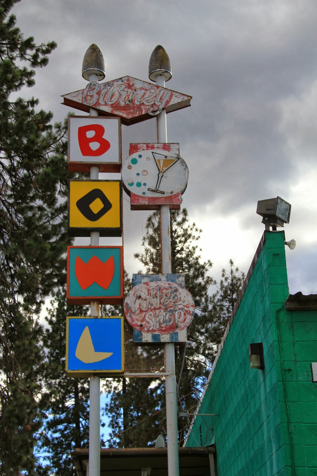 |
| Very retro Bowling Alley sign in Burney |
 |
| Main Street Burney |
 |
| The "Saw Shop' in Burney |
 |
| View about 5 miles outside of Burney on Route 299 |
Thursday night the temperature plummeted here and it was 29 degrees Friday morning, the RV heater got a workout ! We are not yet well prepared, (mentally) for this, hopefully it eases up on us. As one of my Propane Tanks was empty, I went across the street to the gas station and got a refill. It was a perfect sunny clear day though and quickly warmed up to mid 60's.
We visited the McArthur-Burney Falls State Park on Friday to see the highly regarded Falls that Theodore Roosevelt proclaimed as one of the wonders of the world. The Burney Creek drops 129 feet at the Falls, but the exceptional feature is that the water is not all from the Creek, there are probably a hundred other streams of water coming out of the rocks along the canyon wall. These streams are coming from underground cavities and the total quantity of water over the falls has been estimated at one hundred million gallons a day. The setting in the forest is near perfect too ! There is a Falls loop trail, about a mile which we did, then a side trail along the Creek to the Lake Britton where there are picnic facilities, a beach area and boat docks. The Creek is prime fishing area for Brook and Rainbow Trout and the Lake is also well stocked. It was a great hike in perfect weather.
 |
| Burney Falls |
 |
| Wide angle view of Burney Falls |
 |
| Huge banks of fine powdery earth from ancient seabed |
 |
| Lake Britton is the end of the trail |
 |
| Fish in Lake Britton seen from the trail |
 |
| View from bridge over Burney Creek |
At the Casino they were having a Chili and Fry Bread cooking contest, but it seemed rather strange to do having it on a Friday afternoon. It was real low key, seemed to be only a local Indian event. We came back at the end, I went and saw the awards ceremony, but felt totally out of place, really strange. This is a small Casino, not much in the way of frills or excitement. The thing they do have, much to our surprise and delight, is excellent WiFI, the best in a long time.
Saturday's weather forecast is predicting rain on Sunday and Monday, which could be ice or snow in higher elevations of Lassen Volcanic National Park, so I felt we better may a trip there today. It's an easy hour drive, with a gradual climb through forest lands to the Park. Once in the Park, it is a good smooth road, only a few hairpin turns, but it climbs steeply to 8,500 foot elevation. Our destination was the "Bumpass Hell" attraction, which involves a 3 mile hike to a boardwalk that takes you through sulphur gas and steam vents and bubbling pools of water and mud. This is all heated by the hot magma close to the surface here. Bumpass Hell is named for Kendall Vanhook Bumpass who discovered this area and was leading a party there in 1865 when his foot broke through the crust severely burning his foot. He commented that his "descent to Hell was easy".
 |
| View from Rt 89 of Lassen Peak |
 |
| View from Park road |
 |
| Beautiful lake Helen |
 |
| Boardwalk area of the trail |
 |
| Boiling mud vent |
 |
| Boiling Water shooting out of a vent |
 |
| Observation platform on Boardwalk |
 |
| Boardwalk into Hell |
 |
| Hat Creek with Lassen Peak in the distance |
 |
| An Aspen leaf under water in a Creek |
 |
| Leaves in the Creek |
Lassen Peak at 10,457 foot elevation, had a major eruption in 1914-1915 with a 30,000 foot high ash cloud, mud and debris slides and lava flows. It sounds much like the Mt St. Helens eruption in 1980. While there, you can't help but think when it could occur again.
With that in mind, we are moving closer to the Volcano on Sunday, to Hat Creek RV Resort about 15 miles form the northwestern park entrance. Stay tuned for more Volcanic adventures !
Take care,
Twinkles and Slick
No comments:
Post a Comment