April 30 - May 5, 2018:
Every inch of the drive from Panguitch to Escalante, Utah, mostly on Utah Scenic Byway 12, was beautiful. In fact at the visitors center they claim that Utah Byway 12 between Escalante and Torrey, Utah is the second most scenic road in the world, not sure about that claim, but it is definitely in the running. I found it difficult to not stop at every roadside pull-off along the route. Twinkles, when she drives, doesn’t suffer from this malady as she just drives non-stop, two hands on the wheel, eyes straight ahead and usually arrives at the destination well ahead of me.
 |
| A prominent landmark along the way |
 |
| It's going to be a grind to get through this |
The first thing for us is a stop at the Escalante Interagency Visitors Center to get a permit to camp on the nearby Grand Staircase-Escalante National Monument at a open dispersed camping area off the Hole-In-The-Rock Road. We end up in another scenic campsite all to ourselves with mountain views.
 |
| Our campsite |
 |
Alice loves cold water in her own cup, but she's not spoiled
|
It is rugged, wild country here and if you are outdoors oriented there is so much to do. Unfortunately, the weather forecast has rain in it for the next few days so going into slot canyons is not advised. It is also going to get cold, near freezing at night with possibly a dusting of snow.
We visited the Escalante Heritage Center near the Hole-In-The-Rock Road with interesting artifacts and a movie about the building of the Hole-in-the-wall road in 1879-1880. It was amazing (maybe insane) what these early Mormon settlers accomplished through their sheer determination and belief in their cause. In the constant desire to expand it was decided to establish a new town near the Colorado River. The call went out to the faithful and approximately 200 Mormon settlers assembled at Escalante from various other locations to build a road to the Colorado River to start a new life there. The challenges incurred in building this road is how it came to be known as the Hole-In-The-Rock Road. I question if they did adequate scouting of this route, because as they worked their way the terrain became more and more difficult until the last few miles where it was almost impossible, it seems there must have been an easier route. Anyhow, they made it and established the current town of Bluff, Utah. I decided it was time to read “Mormon Country” by Wallace Stegner to learn more about the Mormon settlers.
 |
Painting showing how they made the final descent on
the Hole-In-The-Rock Road |
Afterwards, we continued north on Byway 12 through an especially scenic area they refer to as the million dollar highway, actually I’m sure it was more like tens of millions to build this section of the highway. This road was originally constructed by the CCC, these guys were everywhere ! There is an especially scary section of the road on a ridge line known as the Hogsback. We took a detour at the town of Boulder onto the Burr Trail, actually a paved road, which is another amazingly scenic ride. We revisited a beautiful boondock spot we had stayed at on our last time here. It was as great as we remembered, we then backtracked to Boulder for lunch at the Boulder Trail Cafe, another place we fondly remember.
 |
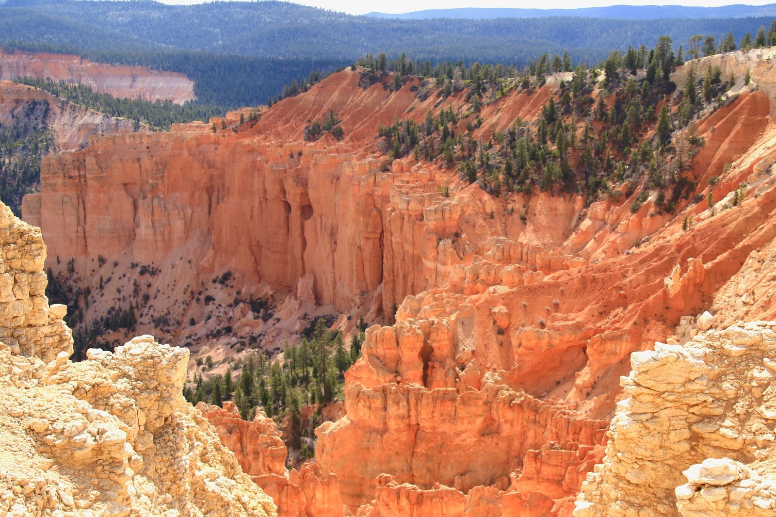
Utah Byway 12 threads its way across the rock landscape
|
 |
At a scenic vista stop, sometimes the view behind
can be equally impressive
|
 |
The road is cut into the rock like it belongs there
|
 |
The RV passing below adds perspective to the scene
|
 |
Zooming down into the river valley between the rock wall
|
 |
| Coming down into Boulder a green irrigated farm field |
 |
| You can find many great rock formations along Burr Road |
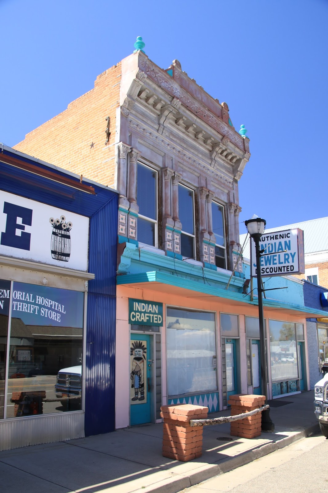
Escalante, UT was settled by Mormon pioneers and the town was laid out in the usual grid pattern, the Mormons were very regimented and organized. A large number of original houses from the late 1800’s to early 1900’s remain as if time has stood still here. Surprisingly to me, some of the oldest and largest houses seem vacant and in poor condition. There are several good cafes and restaurants, a grocery store that has about everything, a couple of outdoors outfitter shops and a couple of gas station / convenience stores.
https://en.wikipedia.org/wiki/Escalante,_Utah
 |
| Great old building with a great name |
 |
A beautiful brick house that needs help, there are
many brick houses in Escalante as they had a brickyard
|
 |
Nice ranch gate in town
|
The weather forecast for the week was pretty accurate with clouds, rain and dropping temperatures on May 1-2 with brief periods of freezing rain and snow. We actually only saw one short period of snow flurries, but the surrounding high mountain ranges turned white overnight. The cold never went below freezing at the campsite and we only had to resort to running the generator on one day when it was all clouds with a high of 52 degrees. There were many layers of quilts on the bed at night though.
I was a little concerned about the red dirt road from our campsite to the highway as it’s a clay type of soil that can be really difficult to get through even with 4wd. There was an RV that went out barely making it leaving big wheel ruts behind. That’s another one of the risks in the country when it rains in addition to flash flooding in the canyon areas and especially slot canyons.
 |
When you drive through this soil it packs into the tire treads
so you are on slicks and its slippery
|
On a cold, cloudy, day we returned to the visitor center, soaked in the heat, checked the weather report, used the WiFi and visited a couple of the downtown stores. We went into Escalante Outfitters to look around and to see what the attached cafe had to offer. We thought it was mainly a coffee shop, but we looked at the menu and found it to be much more. We were promptly waited on, the portions were huge, the food very good, our best meal in town.
The weather improves with much sun and increased warmth on Friday through Sunday. We head back north on route 12 to the Calf Creek Recreation Area where we hike the popular Calf Creek Trail. It goes along Calf Creek into a lush green canyon surrounded by towering rock formations on both sides. Calf Creek runs year around and forms a marshy, oasis area. The trail ends at a box canyon where Calf Creek plunges from the canyon rim down 126 feet into a pond that exits in the creek. You can actually swim in the pond, but the water has to be about freezing this time of year. This didn’t stop a few people (show-offs) who were taking the Polar Bear plunge.
 |
| It's a beautiful trail |
 |
| Rocks that reach to the sky |
 |
| At trails end, a perfect waterfall and pond |
 |
| A wide marshy valley along the trail |
 |
| Calf Creek flow through it |
 |
| A wide green section of the trail |
Twinkles took a day off resulting in a solo adventure for me heading south on the Hole-In-The-Rock Road for 13 rough miles to a spur road for to the parking lot for the “Devils Garden”. I had seen beautiful photos of it and found it to be even better that expected. It’s all red rock formations, hoodoos and spires with sand and slick rock in between and you can freely walk all over, there are no designated trails. I like this freedom to wander and the footsteps do minimal damage to the slick rock and sand, but there is also much delicate vegetation and soil that gets trampled when they allow this, I don't like that and sadly many people just don't care.
 |
| The road is smooth in some areas and bone jarring rough in others. The Jeep is wonderful off road but terrible on these hard corduroy surface roads |
 |
| The shapes here are amazing, its a natural sculpture park |
 |
| They remind me of teeth |
 |
| How can this happen ? |
 |
| So many shapes, colors and textures |
 |
| Next door is a huge red slick rock area |
On my birthday, May 5th, after lunch in town, we took a ride on Pine Creek Road, another great scenic ride. It eventually connects with the notorious Hells Backbone Road to form a loop between Escalante and Boulder. It was a hot day, so we stopped at a trail head off Pine Creek Road and cooled our feet in the creek for a while. The Hells Backbone Road is another road originally built by the CCC, I can’t say enough about this government program during the 1930’s. It travels up and up high into the Dixie National Forest amidst a beautiful Ponderosa Pine forest. We didn’t go all the way, but it eventually gets to a very scenic bridge over a deep gorge and then continues to the the town of Boulder. I did the portion from Boulder to the bridge on our last visit to this area.
 |
| A couple of miles outside of Escalante |
 |
| I was quite taken by the swoop of the clouds |
 |
| Also the Ponderosa Pine |
 |
| At my age it's getting to be the simple pleasures in life |
Next stop is Capital Reef National Park,
Twinkles and Slick