October 4 - 7, 2014
A really big travel day for us, 214 miles at high speed on interstate 70 east. The ride just kept getting prettier and prettier the further we traveled. Twinkles actually said it was "unfreaking believable" or something like that. The Hawk had quite a workout though with several long uphill climbs, it was near pedal to the metal at times.
 |
Moving on down the highway
|
As I was driving prior to the Interstate, I saw a streak of light flash down in the sky ahead of me that appeared to be either a meteorite or someone's fireworks, it was not far away, but off to the side and I couldn't tell if it hit the ground. I slowed down to look, no one was there, no sign of anything smoldering. I have this fantasy about a meteorite landing right in front of me and being able to get it while it's still hot. I was tempted to stop and walk around for hours trying to find it, like a needle in a haystack, but no easy place to pull over. That was my extraterrestrial encounter of the day ?
We have violated a cardinal RV rule today by going to a National Park Campground on a Saturday with no reservations. This was really pushing our luck, but there are many campgrounds in the area, we had a backup plan and figured we could find a site somewhere. So we pulled into our first choice, the Horesethief Campground and the camp host came right over and said, "There are only two sites left, hurry, don't let anyone get in front of you". I should add that this campground host was the most conscientious one I have seen to date. We have been really lucky in finding campsites lately, wish we could get so lucky at he casinos ! We grabbed the first campsite we came to which was actually almost level and had good separation from other sites. These are dry camping sites, no hookups and with the senior pass only $7.50 a night. Horsethief campground is closer to Canyonlands National Park so we will explore it first. We went to the visitors center for a map and then visited a few of the scenic overlooks along the Canyon rim drive. It was a beautiful day, sunny, blue skies, high 70's, couldn't be much nicer.
 |
| Shafer Canyon overlook |
 |
| Mesa Arch |
 |
| Ancient Juniper Tree |
 |
| Another Shafer Canyon overlook |
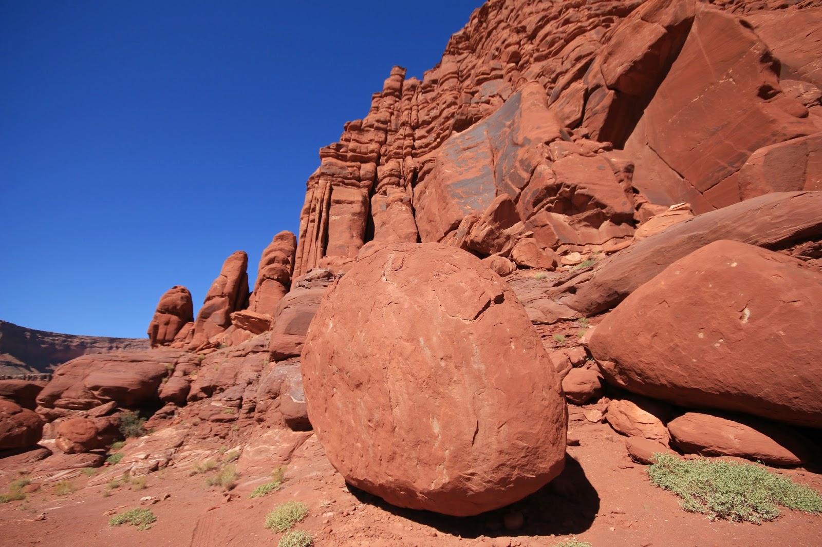
Canyonlands National Park takes in 527 square miles (largest National Park in Utah) and the area here is called the "Island in the sky" as it is a Mesa top with the vast canyons of the Colorado River on one side and the Green River on the other side dropping down several thousand feet from the Mesa rim. There are two other park regions that are more primitive, mostly wilderness and not connected to the Island in the sky area, you can't get there from here ! There are many primitive dirt roads from the Uranium mining exploration and ranching days in the canyons. The most notorious road, the "White Rim Road' is a narrow dirt road that winds along sheer cliff sides and down switchbacks from the canyon rim to the canyon floor. Twinkles took one look and said "No freaking way" ! The 1950's Uranium Mining boom put this area on the map, it was virtually unknown before, however the mining did not pan out and the mining companies moved on to other areas. Thus the area was saved from destruction and a champion of the environment, Stuart Udall, was instrumental in pushed to make it a National Park.
 |
| Looking down from the rim to the Shafer Trail Road |
Day two was spent riding to the Grand View Point Overlook and taking the rim hike there and then driving to the Upheaval Dome and doing the trail there. They were great trails, especially the Grand View which followed the edge of the rim with amazing views down into the Canyon. There are various layers of canyons going as far as the eye can see. We happened to be on the rim as a Ranger talk was starting and sat in on it, the Ranger gave a excellent geology talk. It was actually way more than a geology talk and very interesting.
One thing to be mindful here at Canyonlands is gas for the vehicle as it is a 30 mile drive to the nearest gas station. As a result, we took a ride into Moab to fill up and take a look around. Moab on a Sunday afternoon was heavy with traffic, cars, trucks, RV's, ATV's motorcycles and bicycles. It is an Oasis, filled with restaurants, fast food, hotels, motels, bars, stores of all kinds and all sorts of outside adventure businesses.
 |
| Poison Spider Bike Shop mural i Moab |
 |
| Moab Diner has a great breakfast |
On Monday we made the Jeep earn it's keep by taking it on the Shafer Trail Road which descends really far down through a series of wicked switchbacks to the White Rim Road. Twinkles went along as the Ranger talk had convinced her that it was a "must see". A few of the switchback turns were scary and it is very narrow in places with sheer drop-offs on the edge of the road. If you don't look down not so bad ! The road turns into the White Rim Road which can be taken for 100 miles through the park which takes a couple of days. We stopped at the Gooseneck Overlook which has an incredible view of the gooseneck bend in the Colorado River. It was then on to the Musselman Arch which Twinkles, much to my surprise walked across and even stopped in the middle to pose ! It looked like 500 feet of air under that Arch, she said it was easy, as long as you don't look down, not for me ! We then turned around and took the Potash Road to Moab. This road and the White Rim can be travelled with a standard 4 wheel drive but there are areas that require some ground clearance, an all wheel drive car could easily get hung up. The Potash Road was 30 miles long and was plenty rough, rocky and crossing mud and water in places. The road passed through this huge Potash mining complex that was really nasty looking. After all this excitement and bouncing around all day we needed a rest stop in Moab at the Moab Brewery for nachos and a beer before heading back to the campground.
Tuesday it's off to the very scenic Dead Horse Point State Park a few miles from the campground. Dead Horse Point State Park gets it's name from a Cowboy legend. It seems that when this area was ranch land, the cowboys would round up wild horses and drive them through the narrow neck of the Mesa top, then fence to opening closed. This trapped the horses on this small Mesa top area, a natural corral. The Cowboys would then pick out the ones they wanted and remove them, then leave the rest in there to die of thirst. So they now call this area "Dead Horse Point".
 |
| Blazing Sunset view |
 |
| Mountains in distance at Sunset |
We plan to move tomorrow, although again no reservations and Moab is teeming with tourists. We have scoped out another BLM Campground on the Colorado River just outside of Moab that we hope will have openings in the early morning. It is far more convenient to Moab, the Arches National Park and other attraction.
Next stop is Arches National Park:
Twinkles and Slick


No comments:
Post a Comment