August 20 - 22, 2010:
I am taking route 87 north from Fort Benton to Havre, Montana. The highway is following the Missouri River with many signs for the Lewis and Clark Trail. Those guys would be amazed if they could see them all and probably dispute some of them. I come to a sign for a historic point, which leads me down a dirt road to a parking lot for the “Decision Point”. This place offered much confusion to the Lewis and Clark expedition as they traveled up the Missouri River. At this point the river split and each branch was of similar size and they didn't know which branch was the real Missouri River. They wanted to stay on the Missouri to get to the Great Falls as the Indians had told them. The Indians hadn’t explained to them which way to go at this junction, more likely it was lost in the translation. They spent some time exploring each branch and made a decision which turned out to be correct. There was a short trail to a view point overlooking the convergence of the rivers which was a beautiful view.
 |
| Every town in this part of the country has a grain elevator that can be seen for miles |
 |
| PA's Market |
 |
| MA's Cafe |
Next was the town of Big Sandy, another name for the Missouri River as it carries much silt and debris. The town is very distressed, very depressing actually. It used to have an iconic water tower, now gone, it also had the worlds largest tractor, also gone, pretty much everything is gone, but it is the hometown of the bass player of the rock band Pearl Jam who built a skate park for the youth here.
 |
| A really massive grain elevator |
 |
| Great wheat harvest mural |
 |
| The Hotel is looking poor these days |
 |
| The Museum in the old rail depot looked very nice, unfortunately was closed |
 |
| These old combines are everywhere, it seems were was no market for used ones and everyone just parked them when they bought a newer machine |
 |
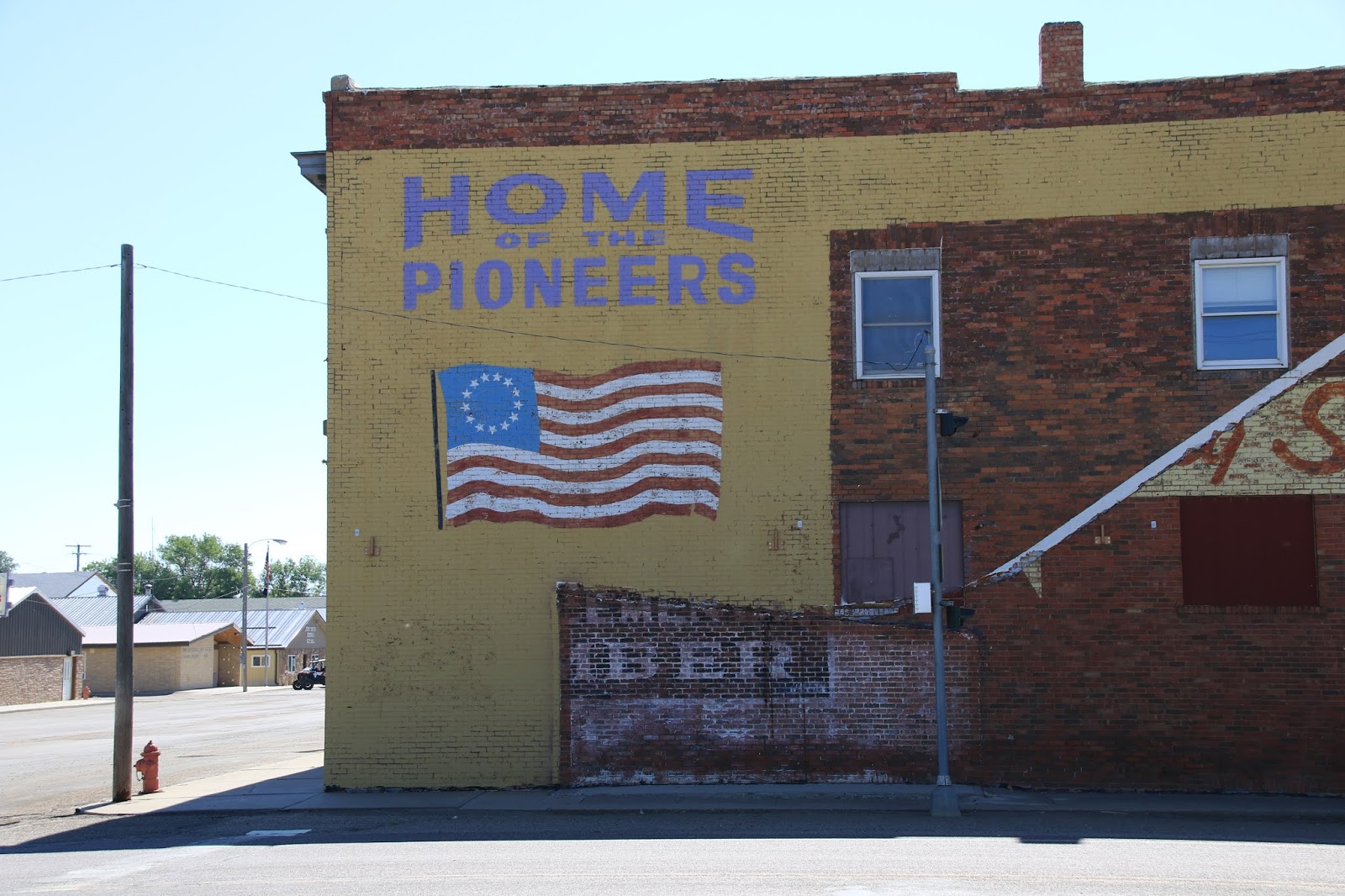
| They take much pride in their pioneer heritage in these parts |
 |
| The story of "Big Sandy" is a good one |
I then entered the Rocky Boy Indian Reservation at Box Elder, Montana where it got worse, total poverty and depression here. Ironically, Box Elder, South Dakota is still my official residence. I started to drive into the reservation but saw that there was a Covid-19 road check point stopping non-residents and turned around.
 |
| There wasn't much to see except for this really trashy bar |
I next stopped at Loredo, little more than a crossroads, just to take a photo of the Loredo sign next to the railroad tracks, probably where the train depot used to be.
 |
| Laredo is empty, the train tracks are getting rusted and weed covered |
 |
| The wheat fields are beautiful however |
As I passed the "Old Station Brewing Company" I saw a sign for live music at 5 PM. I then went to the Havre underground tour location which is also a train museum. I reserved a underground tour and looked around the museum which is kind of a mess, it needs considerable attention. Much of Havre looks this way, dumpy, actually I find much of Northern Montana looks the same.
Afterwards, I go to the Old Station Brewing and there is actually live music, a solo opening act who did acoustic classic rock, done well, but without vocals. I didn’t stay for the main act who was more of a singer/songwriter type. This seems to be only live music going on, actually I don’t see where much of anything goes on here. It’s even hard to find a decent place to eat unless you like to eat in a sleazy looking bar / casino.
Saturday, morning I found a great, but small, bakery, the Infinity Bake Shop, which I believe I also went to on my previous visit here.
 |
| The Bakery is in this beautiful building |
I then took a day trip on route 2 west from Havre to Chester, Montana, this highway is known as the “High Line”. My object was to stop at every small farming town along the route such as, Bernham, Fresno, Kremlin, Gidford, Hingham, Rudyard, Inverness, Joplin and Chester, and I did most of them. In summary I will tell you. it’s very sad, the towns all all dying places, slowly turning into ghost towns. The huge grain elevators that mark the location of every town are mostly quiet now, unused, outdated by new more efficient methods.
https://www.bigskyfishing.com/Montana-Info/Hi-Line/history-hi-line.shtm
These towns all take great pride in being on the “High Line”, like it's a badge of courage I suppose, and they have boastful welcome signs are are entertaining now such as ; Joplin: “The biggest little small town in the world”, Kremlin: USA Style
 |
| This road view reminds me of John Steinbeck |
 |
| This makes me want to hop a freight train |
 |
| The wheat is formulated for the weather and soil of this area |
 |
| I'm guessing this is Gildford, Montana, there were many similar looking towns |
 |
| Joplin won in the best sign category |
 |
| These hills were once covered in vast grass lands and buffalo herds, a revered place by the indigenous Indians for thousands of years |
 |
| Chester Montana also had a good sign |
 |
| And a large grain elevator complex |
 |
This is a mountain of wheat, I noticed wheat trailers from the fields were dumping their
wheat in areas like this. Not exactly sure how this works. |
The wheat farming along the High Line appears to be thriving, it is harvest time and huge combines and truck trailers are everywhere. You will be passed by tractor trailers rigs carrying huge combines or trucks with huge hay rolls. Also there are huge combines with cutting their head disconnected on the road, towing these lengthy cutting heads behind them on a special trailer.
Grasshoppers are thriving on the High Line, every time I step out of the van there are thousands hopping about, the front of the van is covered, what a mess. I am wondering why they don’t devour the wheat crop ? Research into this tells me that the perimeter of the fields are sprayed which keeps them out, sounds to simple to me ?
I find Havre basically kind of a dumpy city, although there are some nice residential areas, but there is little of interest here for me. They lack any form of entertainment, except for small sleazy casinos/bars and have a poor selection of restaurants. The massive grain elevators are really scenic though.
 |
| Get Lost in Montana, that's about what I am doing |
Next stop is Malta, Montana


No comments:
Post a Comment