September 11-13, 2020:
Rawlins to Laramie, Wyoming and Steamboat Springs, Colorado
I can’t believe that it is still cold and cloudy with rain forecast for the morning. I have decided to abandon the more direct I-80 to Laramie and instead take I-80 a short ways to route 30/287 for a more scenic ride. This route signs call it the Sand Creek Massacre Route, (Is Wyoming proud of the massacre ?), but it is also one of the first transcontinental highways, The Lincoln Highway. This route will take me through the poor towns of Hanna, Medicine Bow, Rock River and Bosler, all four of these towns are a mere shadow of there former glory days. Hanna was very poor and distressed looking, Medicine Bow is basically the famous Virginian Hotel and not much else and Bosler is basically a ghost town with a handful of houses left. It starts to rain quite steadily around noon time and continues until I arrive in Laramie.
https://en.wikipedia.org/wiki/Medicine_Bow,_Wyoming
https://en.wikipedia.org/wiki/Virginian_Hotel_(Medicine_Bow,_Wyoming)
 |
| Skinny's Beer Garden is like a cheeseburger in paradise |
 |
| I imagine this was some sort of memorial, pretty sad |
 |
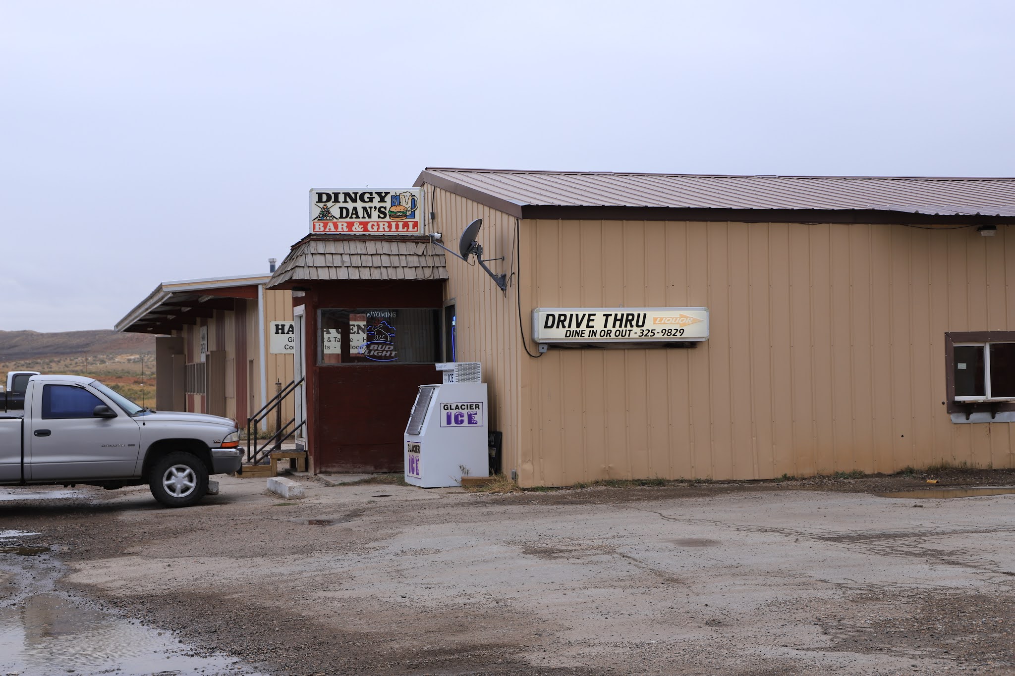
| Dingy Dan's Bar & Grill, that sounds appealing |
 |
| Huge wind power generating farm a few miles away, didn't think Wyoming allowed them ? |
 |
| Once the movers and shakers of the west stayed at the Virginian Hotel in Medicine Bow |
 |
| Made famous in the classic book, The Virginian by Owen Wister |
 |
| A colorful, nostalgic western interior |
 |
| Interesting place for a drink |
 |
| Many interesting travelers have passed through the Medicine Bow train depot |
 |
| A few miles away is Como Bluff where extensive dinosaur beds were found |
 |
| Looks to be serious restoration taking place on the historic fossil Cabin Museum |
 |
| Roundup Cafe or Drive-Line Service in Rock River, Wyoming |
 |
| The Longhorn Lodge in Rock River still appears to be open |
 |
Rock River was once a bustling communit
Arriving in Laramie, I park in front of the library and find that the WiFi is strong from the outside in the van and I work on another blog post. The weather begins to clear at about 3 PM, so I quit to go explore the downtown area. I have been here before and have taken hundreds of photos, so I plan to mostly look for new targets. |
 |
| One of my all time favorite murals |
 |
| Another special one |
 |
| This is a college town with a more progressive attitude |
 |
| I'm thinking Pronghorn |
 |
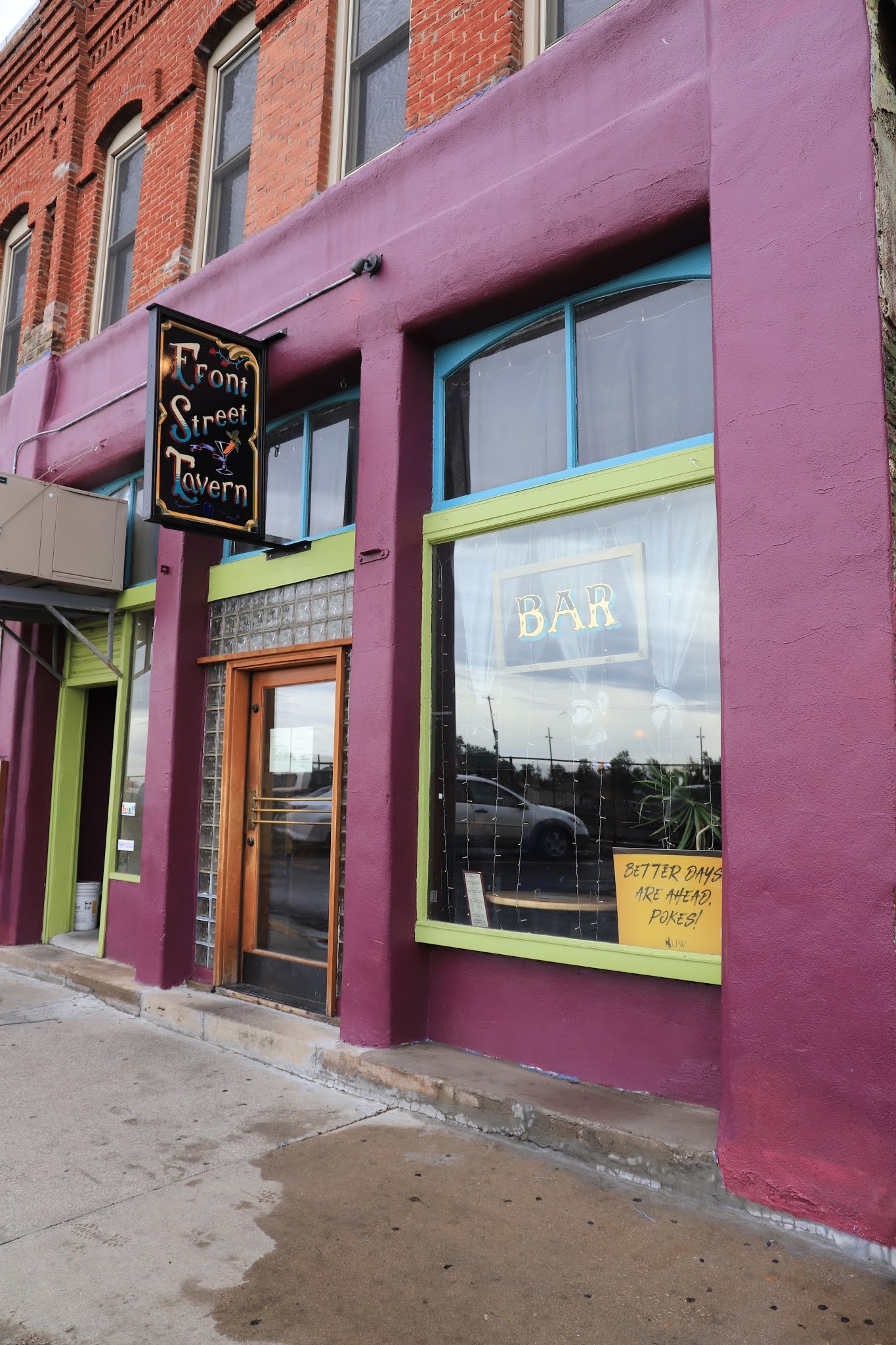
| Front Street Tavern with it's "Better Days Are Ahead Pards"sign in window |
 |
| Another favorite mural |
 |
| I always admire the Johnson Hotel |
 |
| Many good murals in Laramie |
 |
| Decent farmers market also |
 |
| On the facade of the WYO Theater |
This is a college town, the University of Wyoming and all the downtown merchants and the city of Laramie are mandating the wearing of masks. I stop in my favorite bar, The Old Buckhorn Bar and Parlor, in late afternoon when there are only a few people. Everyone is spaced apart, there are two guys who are having a friendly conversation and they are pretty interesting, they soon drag me into it also. The one man claimed that he had covid-19, but he’s now clear of it and there was some laughter about the new city covid-19 directive that players can not mill around the pool table, they must one at a time approach the table only when it’s their turn to shoot. There is also a maximum crowd size and the barmaid said she is unsure how she is going to control that. I am surprised they are actually taking these steps here, the other Wyoming towns so far have been very lax.
 |
| The most memorable bar moment for me, since seeing Bruce Springsteen in 1969, occured here, when the University of Wyoming marching band came in with instruments and played a couple of songs. |
Afterwards, I go for dinner at the Library restaurant where they actually have books on a shelf next to my table. By chance there is a book titled; "World turned upside down" which sounds appropriate for this pandemic year and the political atmosphere. I thumb through and find that it is a fiction story about living during the revolutionary war period when there was considerable strife in the early going as to which side you favored.
 |
| Great sign and good advice |
 |
| A real book copyrighted in 1953 |
On day two, I go to the Happy Jack Recreation Area to hike the Aspen Trail, but I ended up on something else (I think) since there were several trails going in different direction with no trail signs. This is actually a cross country ski area with a blue diamond sign visible on one tree. I soon realized that something was wrong and turned around. I then went to the nearby Lincoln Rest Area where there is a huge strange looking statue of President Lincoln. This highway is now known as I-80 but was originally the Lincoln Highway, hence the Lincoln statue. The old road names are so much more interesting ?
 |
| A pleasant hike, but not so exciting |
 |
| Monument to the Henry Joy who championed the Lincoln Highway |
 |
| Odd looking figure of Lincoln |
 |
| The Ames Monument is quite a strange sight surrounded by range land |
 |
| A feel good story, usually everything in the path was cut down or destroyed |
 |
| They have encircled the rocks with a cable to hold the rocks together |
I then travel about one exit to the exit for the Vedauwoo Recreation Area. There is a campground, several picnic areas and several good hiking trails. This is also a favorite rock climbing site. The rock formations are beautiful and much of it is slick rock which enables easily climbing up quite high, but one has to be careful about that as it far harder coming down. It was very crowded as it was a Saturday and the first nice day after the epic cold and snow spell when the temperature went from near record heat to near record cold in 24 hours. I did the easy Canyon trail to what seemed to the end, but was able to rock scramble a ways beyond, not sure I was on a trail or not ?
 |
| Very interesting rocks here |
 |
| Odd shaped rock formation, erosion does funny things |
 |
| You can scramble up this slick rock rather easily in places |
 |
| But eventually you will hit a dead end |
 |
| Once up high amongst the rocks, finding your route back down is the hard part |
 |
| Some just climb straight up, this is a favorite local rock climbing area |
In the morning after a hearty breakfast at the Old Man Grille, I depart Laramie and head southwest on routes I-80 - 230 - 14 - 40 to Steamboat Springs, Colorado. Route 230 bordered the Snowy Range and crosses the Medicine Bow Mountains, two great names. I make a stop at the historic Woods Landing Dance Hall and general store. This dance hall is pretty special, the floor is mounted on a number of old rail car springs to give it some flex for square dance type group music. There must have been a lot of foot stomping country music going on here in the day.
A few miles further and the forest has been decimated by a huge forest fire for miles and miles several years ago.
 |
| Sure tasted good |
 |
| Interesting logging history took place here |
 |
| The Dance Hall built in 1932 with Scandinavian construction methods |
I then cross the border into Colorado and stop at Walden, Colorado which has a colorful attractive downtown. Many people were out as it was a beautiful day and many were eating at the popular outside patio at Moose Creek Cafe. There were several restaurants, cafes, signs and buildings that attracted me.
 |
| The locals love their wildlife, but strangly most enjoy killing it ? |
 |
| Beautiful brick and stone work |
 |
| The Park Theater |
 |
| Doentown view |
I make a lunch stop along the highway shortly after leaving Walden overlooking this beautiful lush green valley. It felt good to be back in Colorado.
 |
| Nice ! |
 |
| So green ! |
I then get on route 14 south which passes through the Routt National Forest of the Rocky Mountains. It climbs gradually uphill to Rabbit Ears Pass at 9,429 feet. There are several hiking trailheads and forest roads for camping along this route. I stopped at Rabbit Ears Pass and took the West Summit Trail which was interesting, but not the great views that I had hoped for. The highway then goes very steeply downhill for seven miles into Steamboat Springs.
 |
| Many ski trails in this area |
 |
| Pretty berries |
 |
| I thought I was going to a summit, instead it was mostly flat terrain |
I don’t know why I went into Steamboat Springs as I really don’t like the town, they just turned the developers loose here and turned the town into a mega ski resort full of condos, town houses, wealthy new developments and trendy downtown shops and restaurants. I stopped at the beautiful state of the art library, it was closed and there was no internet access, then did what I had to do in a McDonalds Parking lot. McDonalds has been a "God Send" during this trip for internet access, it always works, not extremely fast, but workable, at almost all locations.
I thought about overnighting in downtown Steamboat, but every street in town had "No parking from 3 AM to 8 AM", or a "No overnight parking allowed" sign and everything was very crowded and congested. I just wanted to get out of there and head back to the hills the way I had come. After driving back up that long hill to the pass, I pulled off onto a forest road where several people were camped only to find it extremely rough and also crowded. I then went a short distance away to the Meadows National Forest Campground where for $5 (senior pass) you can get a roomy campsite. There are many dispersed camping options and hiking trails in this area.
In the morning, I’ll depart for Glenwood Springs , Colorado


No comments:
Post a Comment